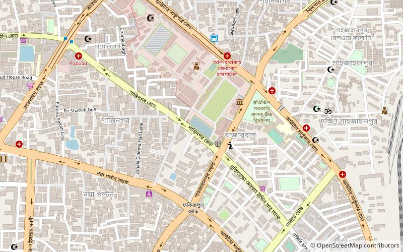
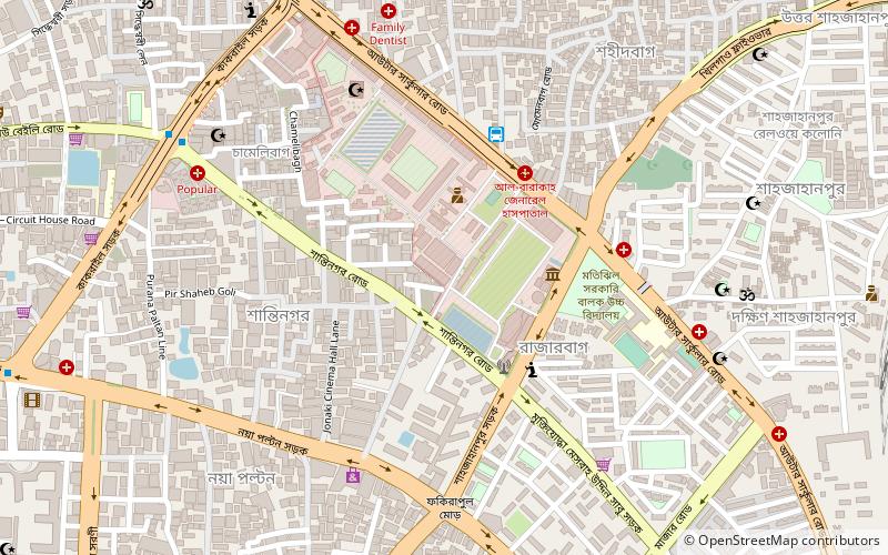
Rajarbagh, Dhaka
Map
Facts and practical information
Rajarbagh is a residential area of Dhaka, Bangladesh. There is a police line in Rajarbagh. The areas adjacent to it are Shantinagar, Motijheel, Malibagh, Shantibagh, Momenbagh, Shahidbagh, Siddheshwari and Shahjahanpur. ()
Coordinates: 23°44'18"N, 90°25'3"E
Address
মতিঝিল থানা (matijhila thana)Dhaka
ContactAdd
Social media
Add
Getting there by public transportation
Public transportation stops near this location
- Bus
- Train
 Bus
Bus
- Calculate routeGreenline Bus Terminal 7 min walk
- Calculate routeBRTCl Bus Terminal 16 min walk
- Calculate routeBRTC Kamalapur Bus Depot 17 min walk
- Calculate routeFulbaria Bus Depot 30 min walk
- Calculate routeKamalapur Railway Station 20 min walk
Day trips


Frequently Asked Questions (FAQ)
Which popular attractions are close to Rajarbagh?
Nearby attractions include Bangladesh Police Liberation War Museum, Dhaka (2 min walk), Concord Grand, Dhaka (5 min walk), Motijheel Thana, Dhaka (9 min walk), Habibullah Bahar College, Dhaka (13 min walk).
How to get to Rajarbagh by public transport?
The nearest stations to Rajarbagh:
Bus
Train
Bus
- Greenline Bus Terminal (7 min walk)
- BRTCl Bus Terminal (16 min walk)
Train
- Kamalapur Railway Station (20 min walk)