Dhaka Polytechnic Institute, Dhaka
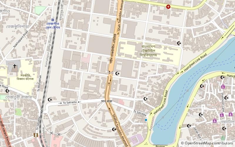
Map

Map

Facts and practical information
Dhaka Polytechnic Institute is a government technical institute in Dhaka, Bangladesh. It is the largest and the oldest polytechnic academia in modern Bangladesh. The polytechnic is ranked number one on the Bangladesh Polytechnic Ranking 2018. ()
Coordinates: 23°45'31"N, 90°23'59"E
Address
Shah Tazuddin Avenueতেজগাঁও থানা (tejagamo thana)Dhaka
ContactAdd
Social media
Add
Day trips
Dhaka Polytechnic Institute – popular in the area (distance from the attraction)
Nearby attractions include: Bashundhara City, Jamuna State Guest House, SAARC Fountain, Hatirjheel.
Frequently Asked Questions (FAQ)
Which popular attractions are close to Dhaka Polytechnic Institute?
Nearby attractions include Begun Bari, Dhaka (11 min walk), Government Science College, Dhaka (12 min walk), Holy Rosary Church, Dhaka (13 min walk), Tejgaon Thana, Dhaka (13 min walk).
How to get to Dhaka Polytechnic Institute by public transport?
The nearest stations to Dhaka Polytechnic Institute:
Train
Bus
Train
- Tejgaon Railway Station (10 min walk)
Bus
- Leguna Tempu Stand (22 min walk)
- Mohakhali Inter District Bus Terminal (26 min walk)


