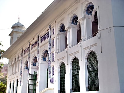
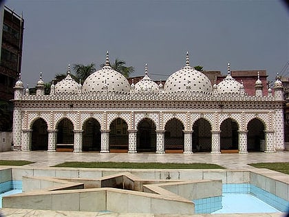
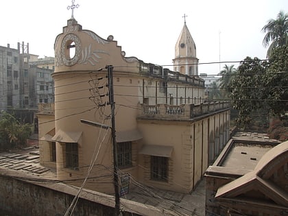
Lalbagh Thana, Dhaka
Map
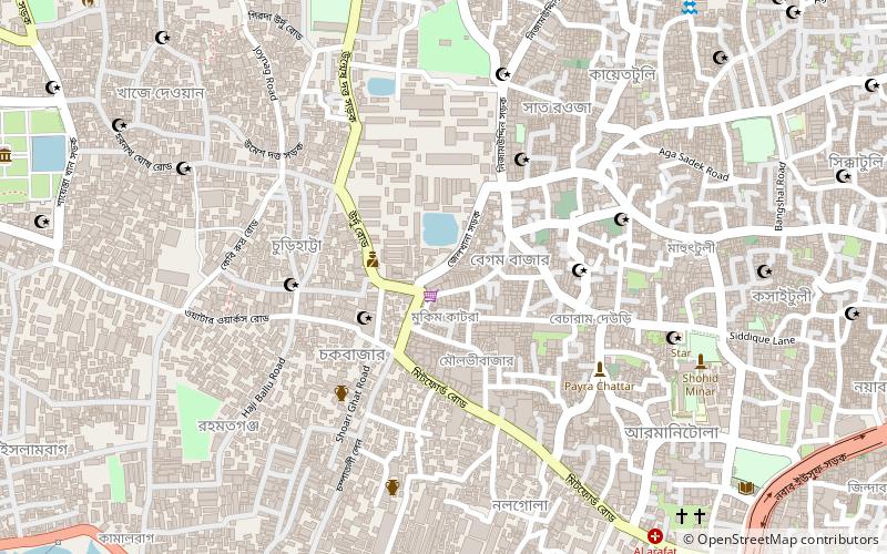
Map

Facts and practical information
Lalbagh is a neighbourhood of the Dhaka District in the division of Dhaka, Bangladesh. ()
Area: 3.53 mi²Coordinates: 23°43'0"N, 90°23'50"E
Address
লালবাগ থানা (lalabaga thana)Dhaka
ContactAdd
Social media
Add
Day trips
Lalbagh Thana – popular in the area (distance from the attraction)
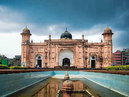
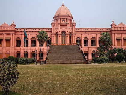
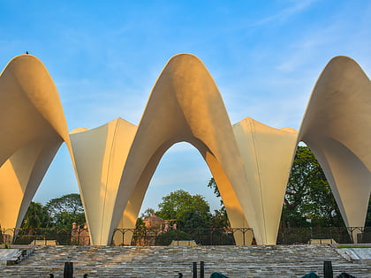
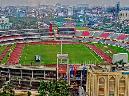
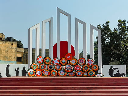
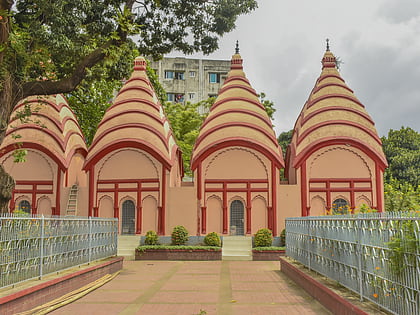
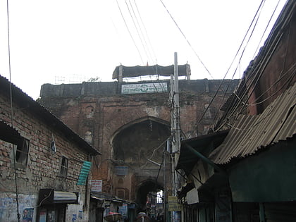
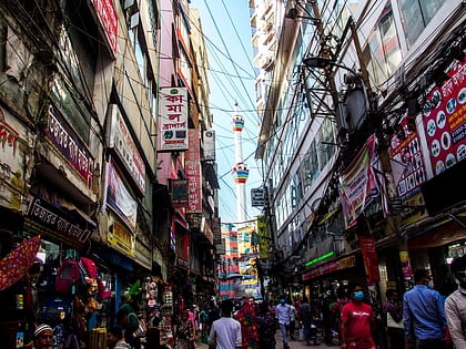
Nearby attractions include: Lalbagh Fort, Ahsan Manzil, Suhrawardy Udyan, Bangabandhu National Stadium.
Frequently Asked Questions (FAQ)
Which popular attractions are close to Lalbagh Thana?
Nearby attractions include Chowk Bazaar, Dhaka (2 min walk), Kartalab Khan Mosque, Dhaka (3 min walk), Chawk Mosque, Dhaka (3 min walk), Bara Katra, Dhaka (5 min walk).
How to get to Lalbagh Thana by public transport?
The nearest stations to Lalbagh Thana:
Ferry
Bus
Ferry
- Babu Bazar Boat Terminal (16 min walk)
Bus
- Fulbaria Bus Depot (24 min walk)

