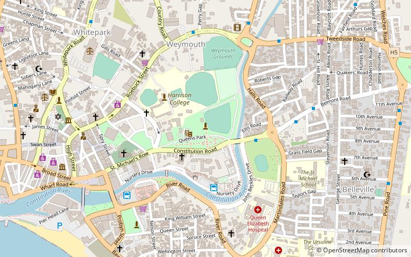
Trek Zone

Queen's College

#18 among destinations in Barbados

Universities and schools
Queen's College location map
Map

Facts and practical information

Coordinates: 13°8'45"N, 59°37'25"W
Location

Husbands Main RoadSaint JamesBarbados

Contact
Social media
Add
Day trips

Queen's College – popular in the area (distance from the attraction)

Nearby attractions include: Sandy Lane, Kensington Oval, Chamberlain Bridge, Nidhe Israel Synagogue.

  • sandy lane2.1 miNW
  • kensington oval bridgetown2.8 miS
  • chamberlain bridge bridgetown3.5 miS
  • nidhe israel synagogue bridgetown3.3 miS
  • parliament buildings bridgetown3.4 miS
  • national heroes square bridgetown3.5 miS
  • queens park bridgetown location map
    3.4 miS
  • cathedral church of saint michael and all angels bridgetown3.4 miS
  • port of bridgetown2.8 miS
  • national library service of barbados bridgetown3.2 miS
  • sharon moravian church location map
    1.6 miE

Where to next? Visit saint james Saint James region page or discover the top tourist attractions in Barbados.