Tumulus de Marcinelle, Charleroi
Map
Map

Facts and practical information
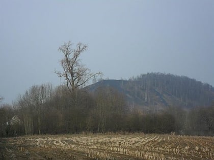
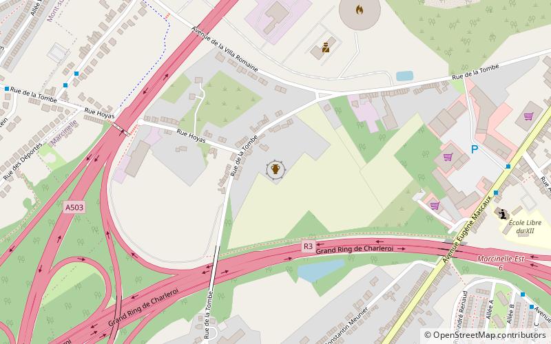
The Marcinelle tumulus is a Gallo-Roman tumulus located in Marcinelle, a section of the city of Charleroi, in the province of Hainaut, Belgium.
Coordinates: 50°23'18"N, 4°25'39"E
Address
Marcinelle (Le Quartier du XII)Charleroi
ContactAdd
Social media
Add
Day trips
Tumulus de Marcinelle – popular in the area (distance from the attraction)
Nearby attractions include: Bois du Cazier, Stade du Pays de Charleroi, Ham-sur-Heure Castle, Church of Saint-Sulpice.
Frequently Asked Questions (FAQ)
How to get to Tumulus de Marcinelle by public transport?
The nearest stations to Tumulus de Marcinelle:
Bus
Train
Bus
- Marcinelle École des Cerisiers • Lines: Ceri (7 min walk)
- Marcinelle 3 Fontaines • Lines: 1, 3 (8 min walk)
Train
- Charleroi-Sud (32 min walk)
