Châtelet, Charleroi
Map
Map

Facts and practical information
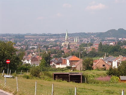
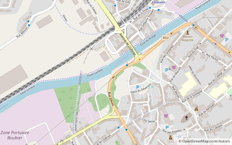
Châtelet is a city and municipality of Wallonia located in the province of Hainaut, Belgium. It lies on the river Sambre. ()
Day trips
Châtelet – popular in the area (distance from the attraction)
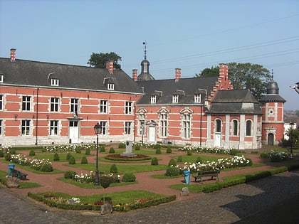
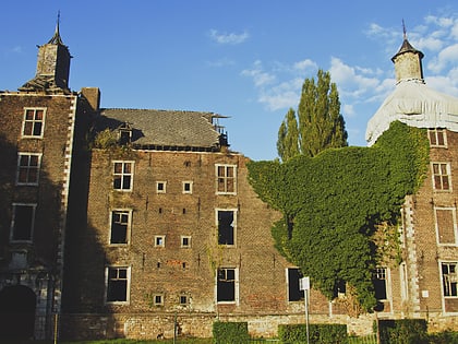
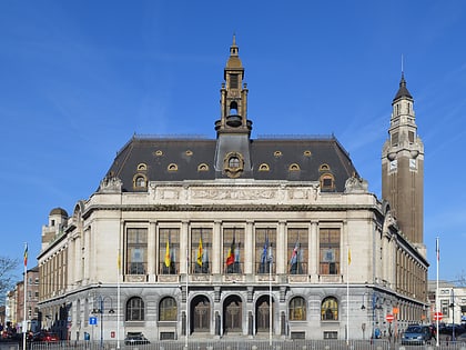
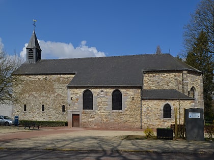
Nearby attractions include: Bois du Cazier, Stade du Pays de Charleroi, Church of Saint-Sulpice, Château Bilquin de Cartier.
Frequently Asked Questions (FAQ)
How to get to Châtelet by public transport?
The nearest stations to Châtelet:
Bus
Train
Bus
- Châtelet Pont de Sambre • Lines: 10, 13, 14, 17, 18 (2 min walk)
- Châtelineau 6 Bras • Lines: 14, 17, 25, 28, 35 (6 min walk)
Train
- Châtelet (7 min walk)
