Arrondissement of Veurne, Veurne
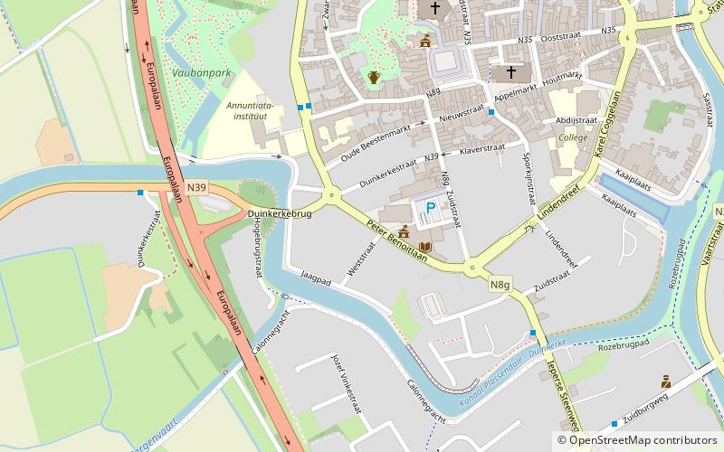
Map
Facts and practical information
The Arrondissement of Veurne is one of the eight administrative arrondissements in the Province of West Flanders, Belgium. It is both an administrative and a judicial arrondissement. However, the Judicial Arrondissement of Veurne also comprises all municipalities in the Arrondissement of Diksmuide. ()
Local name: Arrondissement administratif de Furnes Area: 106.26 mi²Coordinates: 51°4'12"N, 2°39'36"E
Address
Veurne
ContactAdd
Social media
Add
Day trips


Frequently Asked Questions (FAQ)
Which popular attractions are close to Arrondissement of Veurne?
Nearby attractions include Sint-Niklaaskerk, Veurne (6 min walk), Sint Walburgakerk, Veurne (7 min walk), Canal de la Basse Colme, Veurne (13 min walk).