Arrondissement of Charleroi, Charleroi
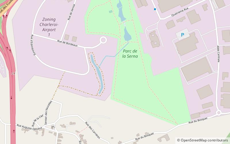
Map
Facts and practical information
The Arrondissement of Charleroi is one of the seven administrative arrondissements in the Walloon province of Hainaut, Belgium. It is both an administrative and a judicial arrondissement. However, the Judicial Arrondissement of Charleroi also comprises the municipalities of the Arrondissement of Thuin. ()
Local name: Arrondissement administratif de Charleroi Area: 214.11 mi²Coordinates: 50°27'0"N, 4°27'0"E
Address
Jumet (Houbois)Charleroi
ContactAdd
Social media
Add
Day trips
Arrondissement of Charleroi – popular in the area (distance from the attraction)
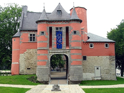
Nearby attractions include: Bois du Cazier, Stade du Pays de Charleroi, Church of Saint-Sulpice, Château de Trazegnies.
Frequently Asked Questions (FAQ)
How to get to Arrondissement of Charleroi by public transport?
The nearest stations to Arrondissement of Charleroi:
Bus
Train
Bus
- Jumet Informatique Défi • Lines: 68 (7 min walk)
- Jumet Trou • Lines: 18 (8 min walk)
Train
- Lodelinsart (34 min walk)


