Église Ste-Catherine, Brussels

Facts and practical information
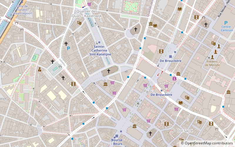
Église Ste-Catherine (address: Place Ste-Catherine) is a place located in Brussels (Bruxelles region) and belongs to the category of square.
It is situated at an altitude of 98 feet, and its geographical coordinates are 50°51'3"N latitude and 4°20'57"E longitude.
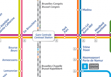
Planning a visit to this place, one can easily and conveniently get there by public transportation. Église Ste-Catherine is a short distance from the following public transport stations: De Brouckère (bus, 4 min walk), Sainte-Catherine - Sint-Katelijne (metro, 3 min walk), De Brouckère (train, 5 min walk), De Brouckère (tram, 5 min walk), Sainctelette (ferry, 17 min walk).
Among other places and attractions worth visiting in the area are: Église Sainte-Catherine - Sint-Katelijnekerk (church, 1 min walk), Black Tower (historical place, 1 min walk), Arrondissement of Brussels-Capital (neighbourhood, 2 min walk).
Place Ste-CatherineBruxelles-Ville (Dansaert)Brussels
Église Ste-Catherine – popular in the area (distance from the attraction)
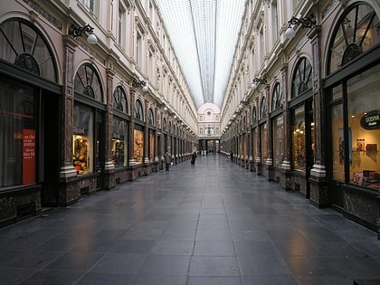
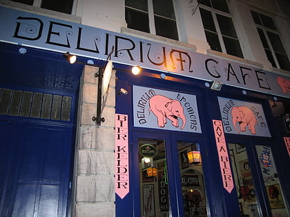
Nearby attractions include: Grand Place, Hôtel des Galeries, City Hall, Delirium Café.
Frequently Asked Questions (FAQ)
Which popular attractions are close to Église Ste-Catherine?
How to get to Église Ste-Catherine by public transport?
Bus
- De Brouckère • Lines: 126, 127, 128, 29, 46, 66, 71, 89, N04, N05, N06, N08, N09, N10, N11, N12, N13, N16, N18 (4 min walk)
- Béguinage - Begijnhof • Lines: 126, 127, 128, 46, N18 (4 min walk)
Metro
- Sainte-Catherine - Sint-Katelijne • Lines: 1, 5 (3 min walk)
- De Brouckère • Lines: 1, 5 (4 min walk)
Train
- De Brouckère (5 min walk)
- Bourse - Beurs (6 min walk)
Tram
- De Brouckère • Lines: 3, 4 (5 min walk)
- Bourse - Beurs • Lines: 3, 4 (5 min walk)
Ferry
- Sainctelette • Lines: Wb (17 min walk)
- Quai des Péniches - Akenkaai • Lines: Wb (17 min walk)

 Metro / Rail
