Rue Pierre Schoonejans, Brussels
Map
Facts and practical information
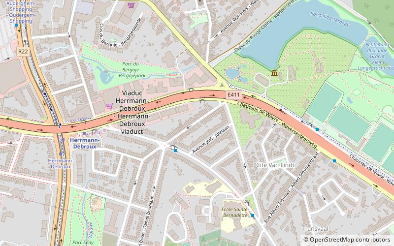
Rue Pierre Schoonejans is street in Brussels in the municipality of Auderghem that goes from the Chaussée de Wavre to Avenue Joseph Cauldron. Its length is 220 meters. ()
Address
Auderghem (Transvaal)Brussels
ContactAdd
Social media
Add
Getting there by public transportation
Public transportation stops near this location
- Metro
- Bus
- Tram
 Metro
Metro
- Calculate routeJardin Massart - Massarttuin 2 min walk
- Calculate routeSchoonejans 2 min walk
- Calculate routeSacré-Cœur - Heilig Hart 5 min walk
- Calculate routeHerrmann-Debroux 6 min walk
- Calculate routeHerrmann-Debroux 6 min walk
- Calculate routeDemey 15 min walk
- Calculate routeHerrmann-Debroux 7 min walk
- Calculate routeParc Seny - Seny-park 10 min walk
- Calculate routeAuderghem-Shopping - Oudergem-Shopping 11 min walk
- Calculate routeRond-point du Souverain - Vorstrondpunt 13 min walk
Maps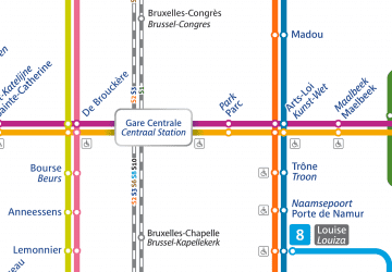 Metro / Rail
Metro / RailDay trips


Frequently Asked Questions (FAQ)
Which popular attractions are close to Rue Pierre Schoonejans?
Nearby attractions include Auderghem, Brussels (8 min walk), Rouge-Cloître Abbey, Brussels (11 min walk), Château of Val-Duchesse, Brussels (14 min walk), Royale Belge, Brussels (20 min walk).
How to get to Rue Pierre Schoonejans by public transport?
The nearest stations to Rue Pierre Schoonejans:
Bus
Metro
Tram
Bus
- Jardin Massart - Massarttuin • Lines: 341, 343, 344, 345, 348, 349, 504, 543, 544, 72 (2 min walk)
- Schoonejans • Lines: 41 (2 min walk)
Metro
- Herrmann-Debroux • Lines: 5 (6 min walk)
- Demey • Lines: 5 (15 min walk)
Tram
- Herrmann-Debroux • Lines: 8 (7 min walk)
- Parc Seny - Seny-park • Lines: 8 (10 min walk)