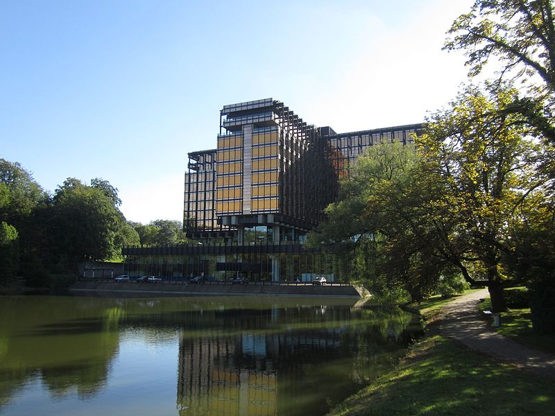
Royale Belge, Brussels

Gallery (2)
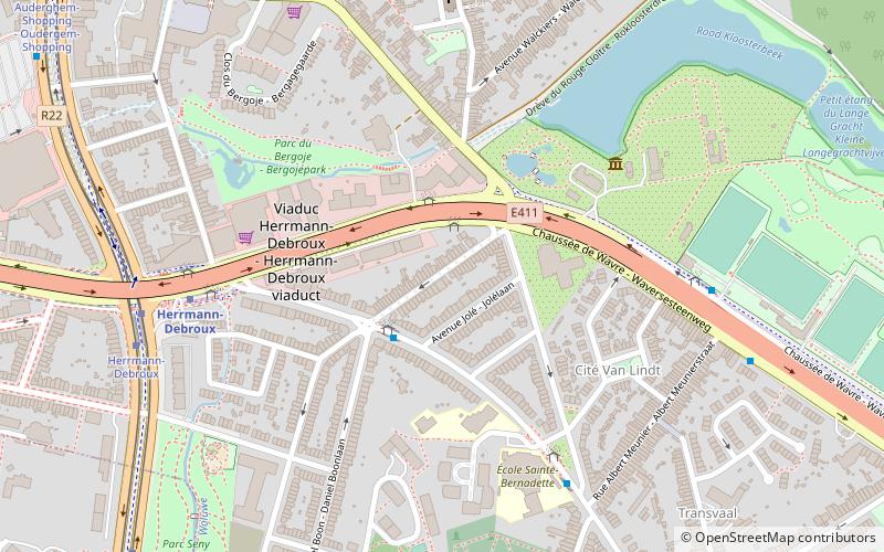
Map
Map
Gallery
Facts and practical information
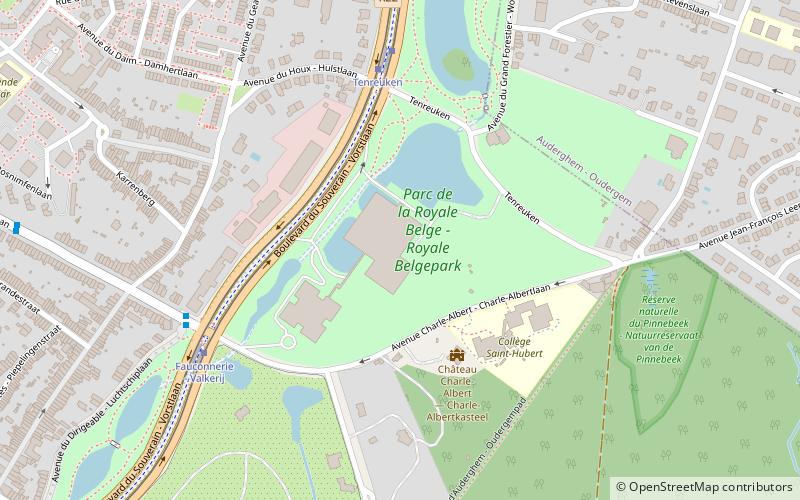
The Royale Belge former headquarters is a functionalist building from 1967 to 1970, located in Watermael-Boitsfort. ()
Address
Watermael-Boitsfort (Boitsfort Centre)Brussels
ContactAdd
Social media
Add
Getting there by public transportation
Public transportation stops near this location
- Metro
- Bus
- Tram
- Train
 Metro
Metro
- Calculate routeTenreuken 5 min walk
- Calculate routeFauconnerie - Valkerij 6 min walk
- Calculate routeParc Seny - Seny-park 12 min walk
- Calculate routeWiener 12 min walk
- Calculate routeFauconnerie - Valkerij 6 min walk
- Calculate routeCerisaie - Kerseboomgaard 10 min walk
- Calculate routeWiener 11 min walk
- Calculate routeTransvaal 15 min walk
- Calculate routeHerrmann-Debroux 18 min walk
- Calculate routeDemey 21 min walk
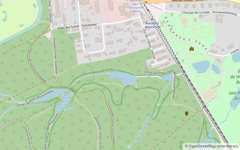
- Calculate routeBoitsfort - Bosvoorde 25 min walk
- Calculate routeWatermael - Watermaal 33 min walk
- Calculate routeDelta 39 min walk
Maps Metro / Rail
Metro / RailDay trips


Frequently Asked Questions (FAQ)
Which popular attractions are close to Royale Belge?
Nearby attractions include Watermael-Boitsfort, Brussels (14 min walk), Rue Pierre Schoonejans, Brussels (20 min walk).
How to get to Royale Belge by public transport?
The nearest stations to Royale Belge:
Tram
Bus
Metro
Train
Tram
- Tenreuken • Lines: 8 (5 min walk)
- Fauconnerie - Valkerij • Lines: 8 (6 min walk)
Bus
- Fauconnerie - Valkerij • Lines: 95 (6 min walk)
- Cerisaie - Kerseboomgaard • Lines: 95 (10 min walk)
Metro
- Herrmann-Debroux • Lines: 5 (18 min walk)
- Demey • Lines: 5 (21 min walk)
Train
- Boitsfort - Bosvoorde (25 min walk)
- Watermael - Watermaal (33 min walk)