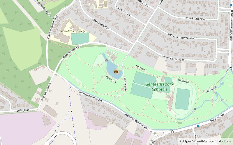
Kasteel van Schoten, Antwerp
Map

Map

Facts and practical information
The Château de Schoten is a castle located in the Belgian town of Schoten.
Coordinates: 51°14'41"N, 4°29'21"E
Address
Kasteeldreef 61SchotenAntwerp 2900
Contact
+32 3 680 23 40
Social media
Add
Day trips
Kasteel van Schoten – popular in the area (distance from the attraction)
Nearby attractions include: Bosuilstadion, Vordenstein park, 't Asbroek, Dessel–Turnhout–Schoten Canal.
Frequently Asked Questions (FAQ)
Which popular attractions are close to Kasteel van Schoten?
Nearby attractions include Sint-Cordulakerk, Antwerp (15 min walk), Dessel–Turnhout–Schoten Canal, Antwerp (17 min walk), 't Asbroek, Schoten (21 min walk), Tibetaans Instituut, Antwerp (23 min walk).
How to get to Kasteel van Schoten by public transport?
The nearest stations to Kasteel van Schoten:
Bus
Tram
Bus
- Schoten Papenaardekensstraat • Lines: 780 (8 min walk)
- Schoten Borkelstraat • Lines: 610, 620, 621 (10 min walk)
Tram
- Ruggeveldlaan • Lines: 5 (26 min walk)
- Stop (30 min walk)


