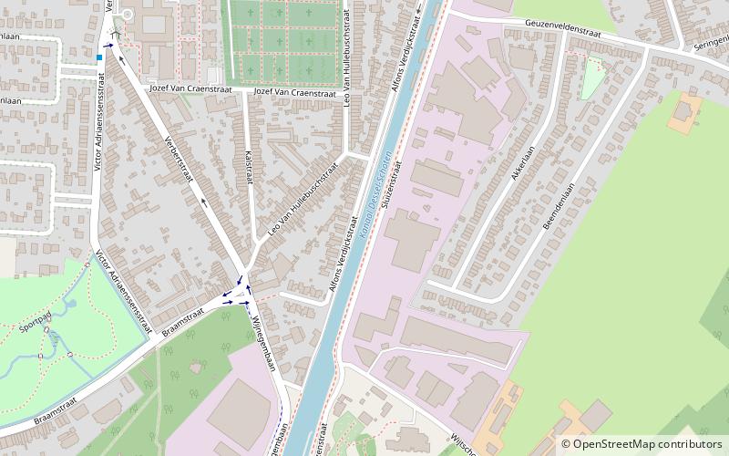
Dessel–Turnhout–Schoten Canal, Antwerp
Map

Map

Facts and practical information
The Dessel–Turnhout–Schoten Canal is a 63 km long canal across the province of Antwerp, Belgium. It links Dessel to Schoten, where the canal flows into the Albert Canal. ()
Address
SchotenAntwerp
ContactAdd
Social media
Add
Day trips
Dessel–Turnhout–Schoten Canal – popular in the area (distance from the attraction)
Nearby attractions include: Vordenstein park, 't Asbroek, Kasteel van Schoten, Sint-Cordulakerk.
Frequently Asked Questions (FAQ)
Which popular attractions are close to Dessel–Turnhout–Schoten Canal?
Nearby attractions include Sint-Cordulakerk, Antwerp (10 min walk), Tibetaans Instituut, Antwerp (15 min walk), Kasteel van Schoten, Antwerp (17 min walk).
How to get to Dessel–Turnhout–Schoten Canal by public transport?
The nearest stations to Dessel–Turnhout–Schoten Canal:
Bus
Tram
Bus
- Schoten Kerkhof • Lines: 610, 620, 621, 629, 780 (8 min walk)
- Schoten Rusthuis • Lines: 780 (9 min walk)
Tram
- Ruggeveldlaan • Lines: 5 (37 min walk)
- Stop (40 min walk)


