Château du Stuyvenberg, Brussels
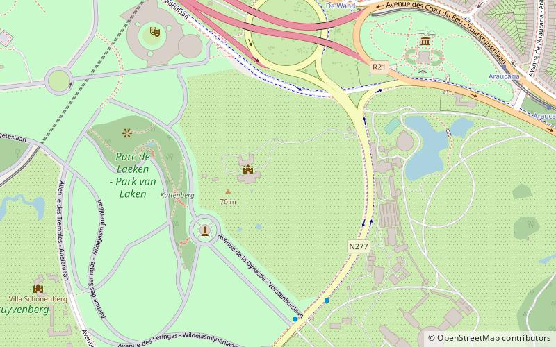
Map
Facts and practical information
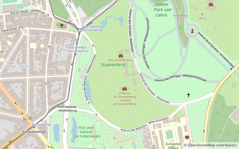
Stuyvenberg Castle is a residence of the Belgian Royal Family, located in Laeken, Brussels. Château du Stuyvenberg is situated at an altitude of 56 meters. ()
Address
Bruxelles-Ville (Domaine Royal Laeken)Brussels
ContactAdd
Social media
Add
Getting there by public transportation
Public transportation stops near this location
- Metro
- Bus
- Tram
- Train
- Ferry
 Metro
Metro
- Calculate routeSaint-Lambert - Sint-Lambertus 5 min walk
- Calculate routeStuyvenbergh 8 min walk
- Calculate routeErnest Salu 13 min walk
- Calculate routeStuyvenbergh 8 min walk
- Calculate routeHouba-Brugmann 12 min walk
- Calculate routeBockstael 17 min walk
- Calculate routeHeysel - Heizel 20 min walk
- Calculate routeSchola Europea 8 min walk
- Calculate routeStuyvenbergh 9 min walk
- Calculate routeSobieski 9 min walk
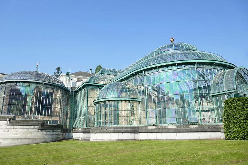
- Calculate routeSerres Royales - Koninklijke Serres 10 min walk
- Calculate routeBockstael 16 min walk
- Calculate routeHeysel - Heizel 19 min walk
- Calculate routeJette 26 min walk
- Calculate routeTour et Taxis - Thurn en Taxis 31 min walk
- Calculate routePont Van Praet - Van Praet brug 31 min walk
Maps Metro / Rail
Metro / RailDay trips
Frequently Asked Questions (FAQ)
Which popular attractions are close to Château du Stuyvenberg?
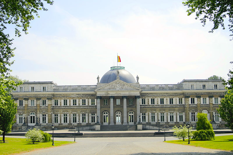
Nearby attractions include Parc de Laeken - Park van Laken, Brussels (5 min walk), Belvédère Castle, Brussels (10 min walk), Palace of Laeken, Brussels (13 min walk), Castle of Westerlo, Brussels (14 min walk).
How to get to Château du Stuyvenberg by public transport?
The nearest stations to Château du Stuyvenberg:
Tram
Metro
Bus
Train
Ferry
Tram
- Saint-Lambert - Sint-Lambertus • Lines: 19, 7 (5 min walk)
- Stuyvenbergh • Lines: 19 (8 min walk)
Metro
- Stuyvenbergh • Lines: 6 (8 min walk)
- Houba-Brugmann • Lines: 6 (12 min walk)
Bus
- Schola Europea • Lines: 230, 231, 232, 53 (8 min walk)
- Stuyvenbergh • Lines: 233, 240, 241, 242, 243, 250, 251, 260, N18 (9 min walk)
Train
- Bockstael (16 min walk)
- Heysel - Heizel (19 min walk)
Ferry
- Pont Van Praet - Van Praet brug • Lines: Wb (31 min walk)