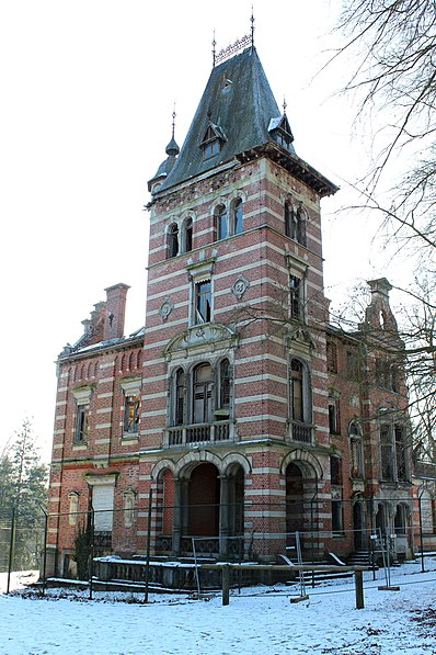
Parc Tournay-Solvay - Tournay-Solvaypark, Brussels

Gallery (2)
Map
Map
Gallery
Facts and practical information
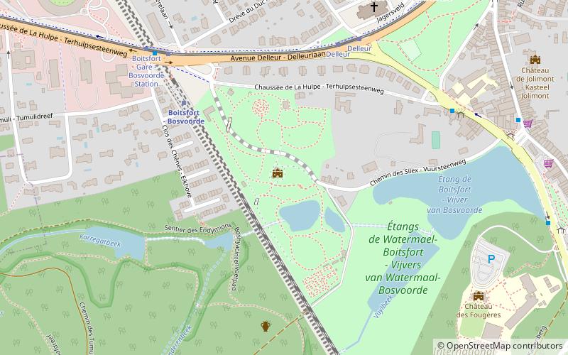
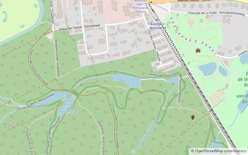
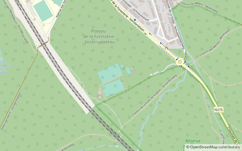
Tournay-Solvay Park is a park located in the municipality of Watermael-Boitsfort in Brussels, Belgium. It is located between the Chaussée de la Hulpe and the railway line Brussels-Namur. This landscaped park is the result of successive developments by the Solvay family in the late nineteenth century and early twentieth century.
Elevation: 312 ft a.s.l.Coordinates: 50°47'35"N, 4°24'41"E
Getting there by public transportation
Public transportation stops near this location
- Bus
- Tram
- Train
 Bus
Bus
- Calculate routeBoitsfort - Bosvoorde 5 min walk
- Calculate routeBoondael - Boondaal 26 min walk
- Calculate routeWatermael - Watermaal 31 min walk
- Calculate routeArcades - Arcaden 33 min walk
- Calculate routeDelleur 6 min walk
- Calculate routeBoitsfort Gare - Bosvoorde Station 7 min walk
- Calculate routeWiener 12 min walk
- Calculate routeCoccinelles - Lieveheersbeestjes 13 min walk
- Calculate routeBoitsfort Gare - Bosvoorde Station 6 min walk
- Calculate routeÉtangs 7 min walk
- Calculate routeÉtangs de Boitsfort - Vijvers van Bosvoorde 8 min walk
- Calculate routeInternational School 10 min walk
Maps Metro / Rail
Metro / RailDay trips


Frequently Asked Questions (FAQ)
Which popular attractions are close to Parc Tournay-Solvay - Tournay-Solvaypark?
Nearby attractions include Enfants Noyés Nature Reserve, Brussels (7 min walk), Watermael-Boitsfort, Brussels (13 min walk).
How to get to Parc Tournay-Solvay - Tournay-Solvaypark by public transport?
The nearest stations to Parc Tournay-Solvay - Tournay-Solvaypark:
Train
Tram
Bus
Train
- Boitsfort - Bosvoorde (5 min walk)
- Boondael - Boondaal (26 min walk)
Tram
- Delleur • Lines: 8 (6 min walk)
- Boitsfort Gare - Bosvoorde Station • Lines: 8 (7 min walk)
Bus
- Boitsfort Gare - Bosvoorde Station • Lines: 366 (6 min walk)
- Étangs • Lines: 366 (7 min walk)