Hammer Bridge

Gallery (2)
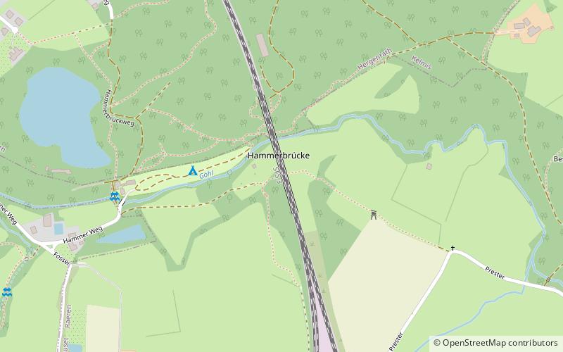
Map
Map
Gallery
Facts and practical information
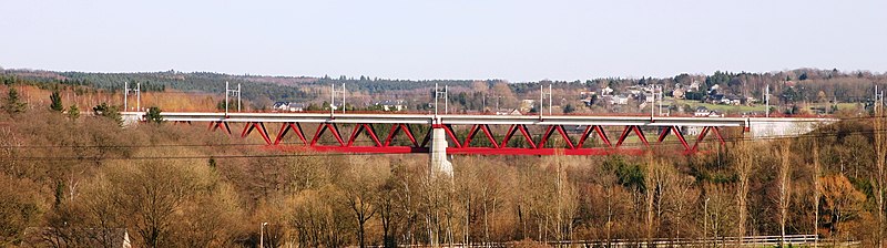
The Hammer Bridge is a 220 metres long railway bridge on the Weser Valley line crossing the Geul valley a few hundred meters to the south of Hergenrath. ()
Local name: Hammerbrücke Opened: 1843 (183 years ago)Length: 722 ftCoordinates: 50°42'11"N, 6°2'50"E
Location
Wallonie
ContactAdd
Social media
Add
Day trips