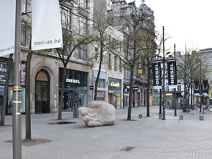
Den Botaniek, Antwerp
Map

Map

Facts and practical information
The Botanic Garden of Antwerp, which currently carries the name Den Botaniek, is a landscaped botanical garden created in 1825 in the inner city of Antwerp located at the Leopoldstraat, covering an area of slightly less than 1 hectare. Before that the park was, at the end of the 18th century, a plant garden for the Ecole Centrale and then the herb garden and later the vegetable garden of the Sint-Elisabethgasthuis in Antwerp. ()
Coordinates: 51°12'51"N, 4°24'22"E
Address
Antwerpen (Theaterbuurt)Antwerp
ContactAdd
Social media
Add
Day trips
Den Botaniek – popular in the area (distance from the attraction)
Nearby attractions include: Meir, Brabo, Maagdenhuis Museum, Plantin-Moretus Museum.
Frequently Asked Questions (FAQ)
Which popular attractions are close to Den Botaniek?
Nearby attractions include Kruidtuin, Antwerp (1 min walk), Maagdenhuis Museum, Antwerp (1 min walk), Museum Mayer van den Bergh, Antwerp (3 min walk), Bourla Theatre, Antwerp (3 min walk).
How to get to Den Botaniek by public transport?
The nearest stations to Den Botaniek:
Tram
Bus
Train
Ferry
Tram
- Mechelseplein • Lines: 4, 7 (2 min walk)
- Oudaan • Lines: 4, 7 (4 min walk)
Bus
- Nationale Bank • Lines: 13, 14 (6 min walk)
- Stadspark • Lines: 13, 14 (7 min walk)
Train
- Antwerpen-Centraal (17 min walk)
- Antwerpen-Zuid (34 min walk)
Ferry
- Steenplein Antwerpen • Lines: Waterbus Schelde Hemiksem-Antwer, Waterbus Schelde Lillo-Antwerpen (18 min walk)


