Meylandtmolen, Heusden-Zolder

Gallery (1)
Map
Map
Facts and practical information
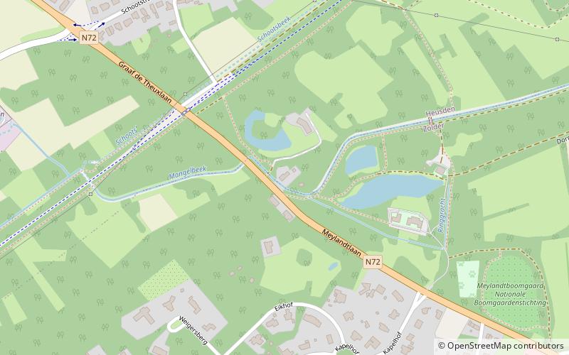
Meylandtmolen is a place located in Heusden-Zolder (Vlaanderen region) and belongs to the category of watermill.
It is situated at an altitude of 121 feet, and its geographical coordinates are 51°1'16"N latitude and 5°16'40"E longitude.
Among other places and attractions worth visiting in the area are: Kasteel Meylandt (forts and castles, 5 min walk), Kluis van Bolderberg (church, 45 min walk), Vogelsanck Castle (forts and castles, 54 min walk).
Coordinates: 51°1'16"N, 5°16'40"E
Address
Heusden-Zolder
ContactAdd
Social media
Add
Day trips


