Avenue Fonsny, Brussels
Map
Gallery
Facts and practical information
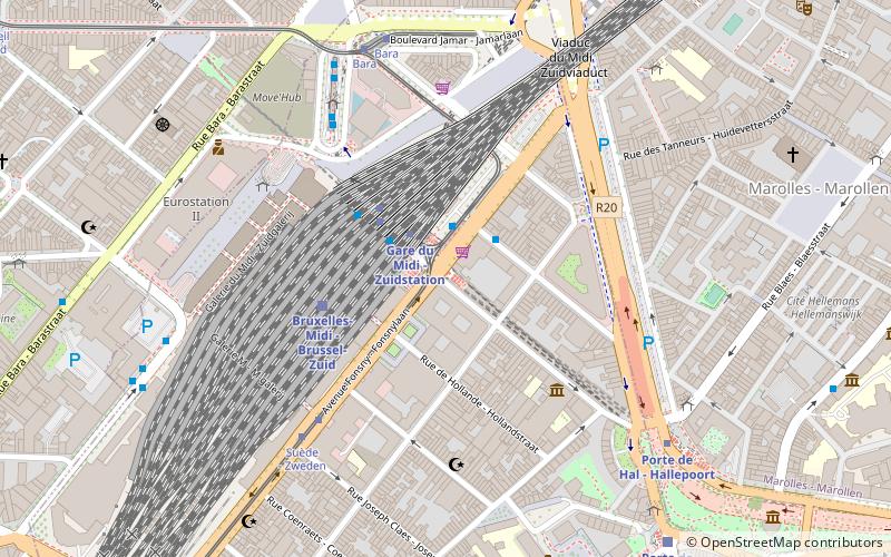
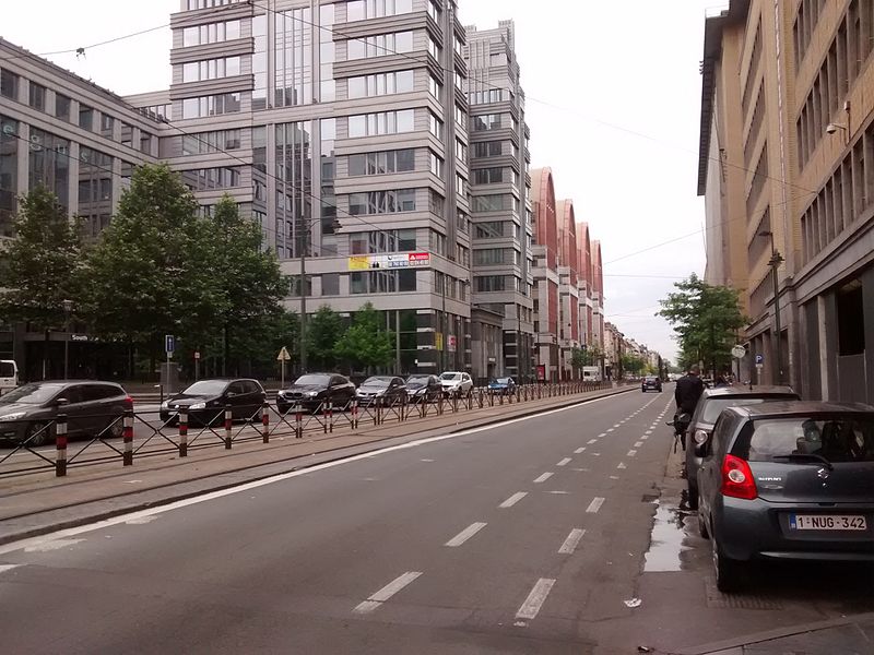
The Avenue Fonsny or Fonsnylaan is a major street in the Saint-Gilles municipality of Brussels, Belgium, connecting the Place de la Constitution/Grondwetplein on the south-west of the Small Ring to the municipality of Forest. It is continued in Forest by the Avenue Van Volxem/Van Volxemlaan. It runs parallel to the Belgian railway line 96. One entry to Brussels-South railway station is on the Avenue Fonsny. ()
Coordinates: 50°50'10"N, 4°20'19"E
Address
Engelandstraat / Rue d'AngleterreSaint-Gilles (Porte de Hal)Brussels 1060
ContactAdd
Social media
Add
Day trips
Avenue Fonsny – popular in the area (distance from the attraction)
Nearby attractions include: Manneken Pis, Palais de Justice, Sablon, Halle Gate.
Frequently Asked Questions (FAQ)
Which popular attractions are close to Avenue Fonsny?
Nearby attractions include Tour du Midi, Brussels (4 min walk), Halle Gate, Brussels (7 min walk), Place du Jeu de Balle, Brussels (9 min walk), Marollen, Brussels (9 min walk).
How to get to Avenue Fonsny by public transport?
The nearest stations to Avenue Fonsny:
Bus
Metro
Tram
Train
Bus
- Fonsny • Lines: 136 (2 min walk)
- Gare du Midi - Zuidstation • Lines: 116, 117, 118, 123, 136, 140, 141, 142, 144, 145, 170, 171, 365a, 48, 49, 50, W (5 min walk)
Metro
- Gare du Midi - Zuidstation • Lines: 2, 6 (2 min walk)
- Porte de Hal - Hallepoort • Lines: 2, 6 (6 min walk)
Tram
- Gare du Midi - Zuidstation • Lines: 3, 4, 51, 81, 82 (2 min walk)
- Suède - Zweden • Lines: 81, 82 (5 min walk)
Train
- Brussels-Midi (3 min walk)
- Porte de Hal - Hallepoort (8 min walk)

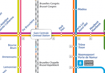 Metro / Rail


