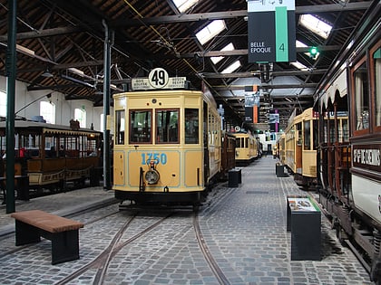
Tervuren, Brussels
Map
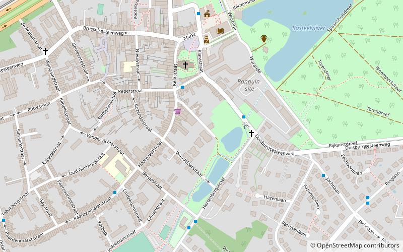
Map

Facts and practical information
Tervuren is a municipality in the province of Flemish Brabant, in Flanders, Belgium. The municipality comprises the villages of Duisburg, Tervuren, Vossem and Moorsel. On January 1, 2006, Tervuren had a total population of 20,636. The total area is 32.92 km², which gives it a population density of 627 inhabitants per km². ()
Day trips
Tervuren – popular in the area (distance from the attraction)
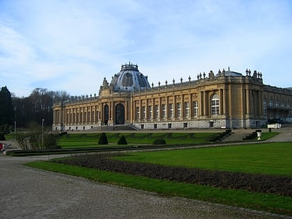
Nearby attractions include: Royal Museum for Central Africa, Brussels Tram Museum, Royale Belge, Bibliotheca Wittockiana.
Frequently Asked Questions (FAQ)
How to get to Tervuren by public transport?
The nearest stations to Tervuren:
Bus
Tram
Bus
- Tervuren Hertenbergstraat • Lines: 315, 317, 549, 553, 830 (3 min walk)
- Tervuren De Nettenberg • Lines: 315, 317 (5 min walk)
Tram
- Oppemstraat • Lines: 44 (11 min walk)
- Tervuren Station • Lines: 44 (14 min walk)
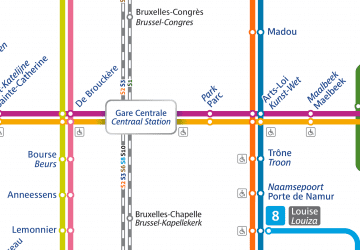 Metro / Rail
