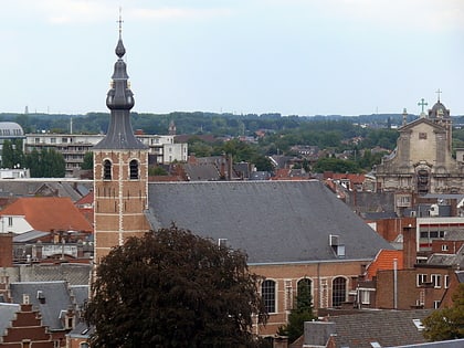
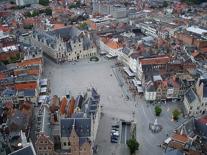
Schepenhuis, Mechelen
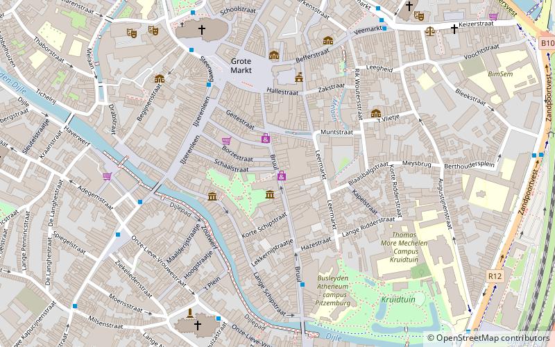
Map
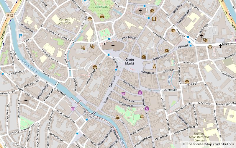
Map

Facts and practical information
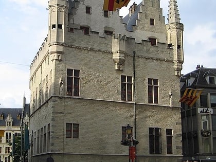
The Schepenhuis of Mechelen is a building where the city's aldermen held their meetings in the Middle Ages. It is located on the edge of the Grote Markt, between the latter and the IJzerenleen and is considered the first stone 'town hall' of Flanders. ()
Coordinates: 51°1'39"N, 4°28'46"E
Address
Steenweg 1MechelenMechelen 2800
Contact
+32 15 29 40 30
Social media
Add
Day trips
Schepenhuis – popular in the area (distance from the attraction)
Nearby attractions include: St. Rumbold's Cathedral, Kazerne Dossin, Royal Carillon School "Jef Denyn", Speelgoedmuseum.
Frequently Asked Questions (FAQ)
Which popular attractions are close to Schepenhuis?
Nearby attractions include Grote Markt, Mechelen (2 min walk), St. Rumbold's Cathedral, Mechelen (3 min walk), De Maan, Mechelen (3 min walk), Royal Carillon School "Jef Denyn", Mechelen (4 min walk).
How to get to Schepenhuis by public transport?
The nearest stations to Schepenhuis:
Bus
Train
Bus
- Mechelen Schoenmarkt • Lines: 1 (2 min walk)
Train
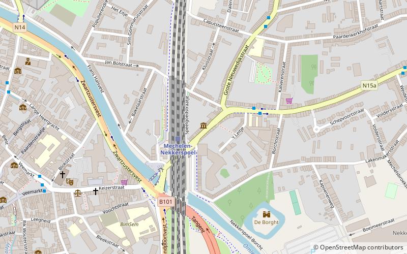
- Mechelen-Nekkerspoel (13 min walk)
- Mechelen (19 min walk)
