Sint-Lievens-Houtem

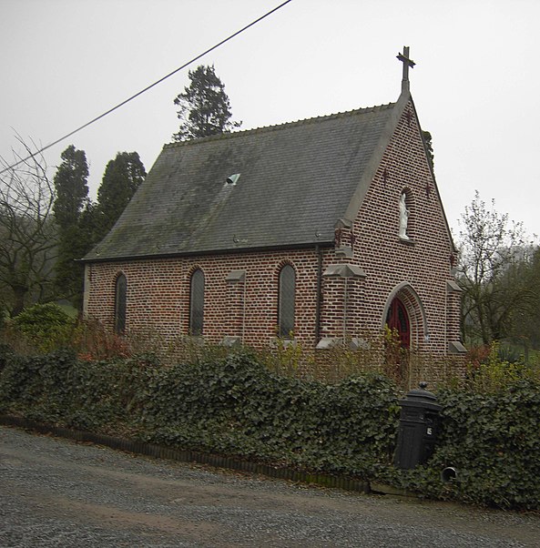
Gallery (3)
Map
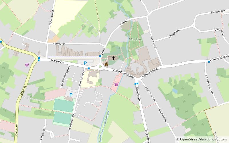
Map
Gallery
Facts and practical information
Sint-Lievens-Houtem is a Dutch-speaking municipality of Belgium. It is located in the Denderstreek and at the edge of the Flemish Ardennes, the hilly southern part of the province of East Flanders. Sint-Lievens-Houtem is crossed by the Molenbeek in Vlierzele, Zonnegem and Letterhoutem. ()
Day trips


