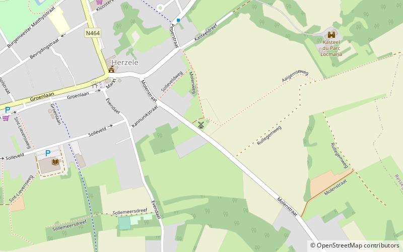
Molen te Rullegem, Herzele

Gallery (1)
Map
Map
Facts and practical information
Molen te Rullegem is a place located in Herzele (Vlaanderen region) and belongs to the category of windmill.
It is situated at an altitude of 210 feet, and its geographical coordinates are 50°52'59"N latitude and 3°53'49"E longitude.
Among other places and attractions worth visiting in the area are: Molen Ter Rijst (windmill, 28 min walk), Sint-Lievens-Houtem (locality, 77 min walk), Leeuwergem Castle (forts and castles, 87 min walk).
Coordinates: 50°52'59"N, 3°53'49"E
Day trips


