Cambron Abbey

Gallery (1)
Map
Map
Facts and practical information
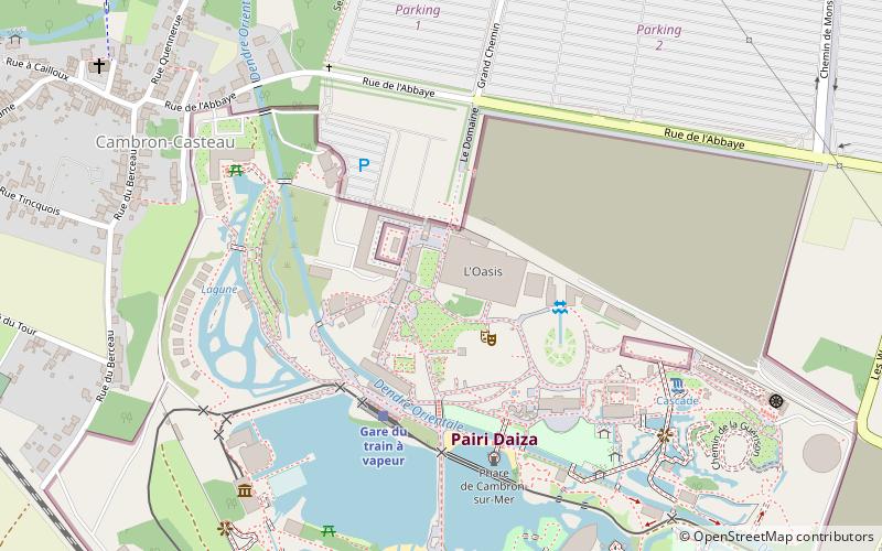
Cambron Abbey was a Cistercian abbey in Belgium, in Cambron-Casteau in the municipality of Brugelette in the Province of Hainaut. It was on the River Blanche, a tributary of the Dendre, about nine kilometres to the south-east of Ath. Dissolved in 1782, parts of the abbey still survive as ruins. ()
Location
Wallonie
ContactAdd
Social media
Add
Day trips