Château de Louvignies
Map

Map

Facts and practical information
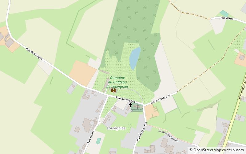
Château de Louvignies is a castle located 6 kilometers from Soignies, in Hainaut Province of Belgium. It was designated as the seat of a lordship in 1389 and was acquired in 1716 by the Governor of Charleroi, Rodrigo de Peralta, who built a castle surrounded by a moat. In 1767, the structure was modernized with a basement addition, a tower and a ground floor stuccoed room decorated to 18th-century tastes. In 1798, through marriage, the castle became the stronghold of the Villegas Family. ()
Elevation: 312 ft a.s.l.Coordinates: 50°35'13"N, 3°59'13"E
Location
Wallonie
ContactAdd
Social media
Add
Day trips
Château de Louvignies – popular in the area (distance from the attraction)
Nearby attractions include: Pairi Daiza, Cambron Abbey, Thoricourt Castle, War Memorial.


