Sint-Jozefkerk, Geel

Gallery (1)
Map
Map
Facts and practical information
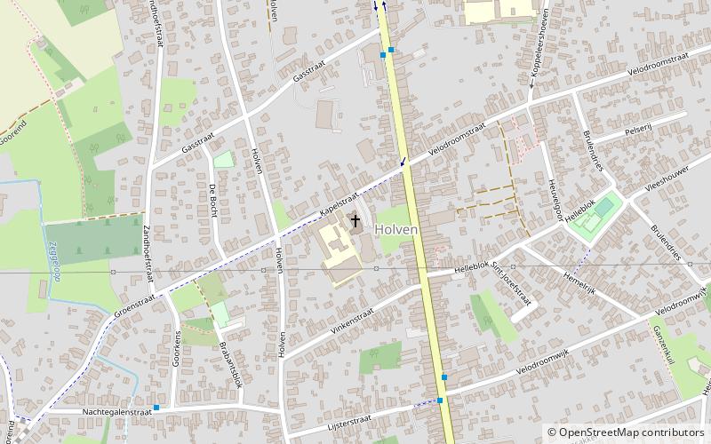
Sint-Jozefkerk (address: 18 Kapelstraat) is a place located in Geel (Vlaanderen region) and belongs to the category of church.
It is situated at an altitude of 75 feet, and its geographical coordinates are 51°10'33"N latitude and 4°59'6"E longitude.
Among other places and attractions worth visiting in the area are: De Leunen (sport, 21 min walk), Gansakkermolen (windmill, 26 min walk), Sint-Franciscuskerk (church, 27 min walk).
Coordinates: 51°10'33"N, 4°59'6"E
Address
18 KapelstraatGeelGeel
ContactAdd
Social media
Add
Day trips