Stade du Vivier d'Oie, Brussels
Map
Map

Facts and practical information
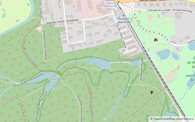
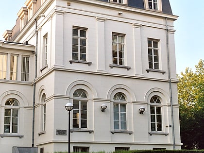
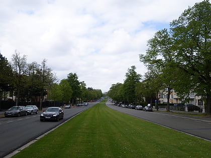
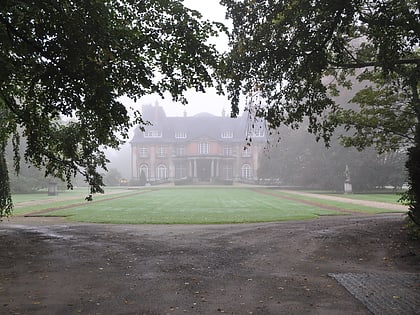
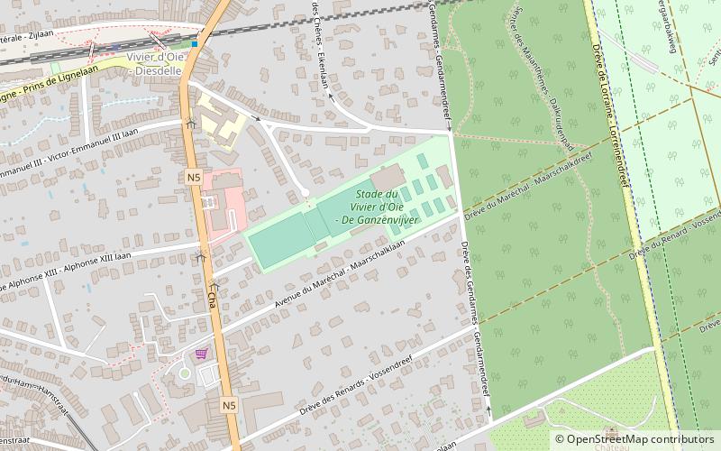
The Stade du Vivier d'Oie is a stadium in the Belgian community of Uccle in the Brussels Capital Region. The stadium lies in the quarter Vivier d'Oie at the margin of the Soignies Forest. In the first half of the 20th century the football club Racing Club de Bruxelles played here. ()
Alternative names: Opened: 1902 (124 years ago)Capacity: 10 thous.Coordinates: 50°47'36"N, 4°22'40"E
Address
Uccle (Fort Jaco)Brussels
ContactAdd
Social media
Add
Day trips
Stade du Vivier d'Oie – popular in the area (distance from the attraction)
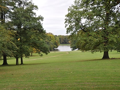
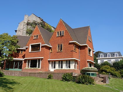
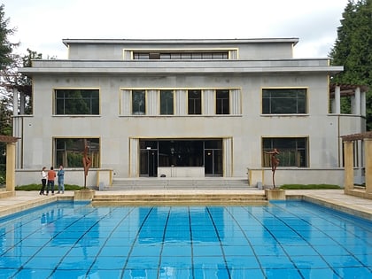
Nearby attractions include: Bois de la Cambre, Museum David and Alice van Buuren, Villa Empain, Church of St. Clement.
Frequently Asked Questions (FAQ)
Which popular attractions are close to Stade du Vivier d'Oie?
Nearby attractions include Château de La Fougeraie, Brussels (9 min walk), International Puppet Museum - Peruchet, Brussels (23 min walk), Royal Observatory of Belgium, Brussels (24 min walk), Bois de la Cambre, Brussels (24 min walk).
How to get to Stade du Vivier d'Oie by public transport?
The nearest stations to Stade du Vivier d'Oie:
Bus
Tram
Train
Bus
- Racing • Lines: 123, 124, 136, 365a, 43, W (5 min walk)
- Vivier d'Oie - Diesdelle • Lines: 123, 124, 136, 365a, 43, W (7 min walk)
Tram
- Fort-Jaco • Lines: 92 (8 min walk)
- Alphonse XIII • Lines: 92 (12 min walk)
Train
- Vivier d'Oie - Diesdelle (9 min walk)
- Saint-Job - Sint-Job (18 min walk)

 Metro / Rail