Bois de la Cambre, Brussels
Map
Gallery
Facts and practical information
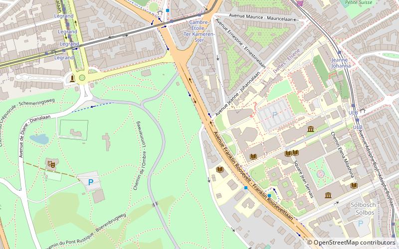
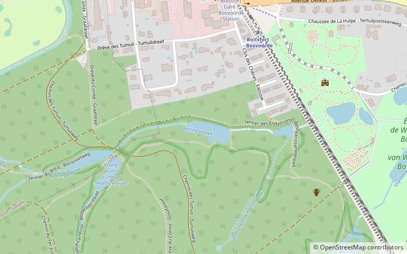
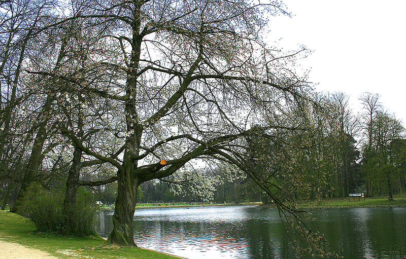
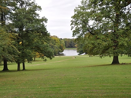
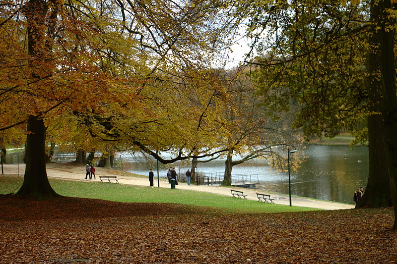
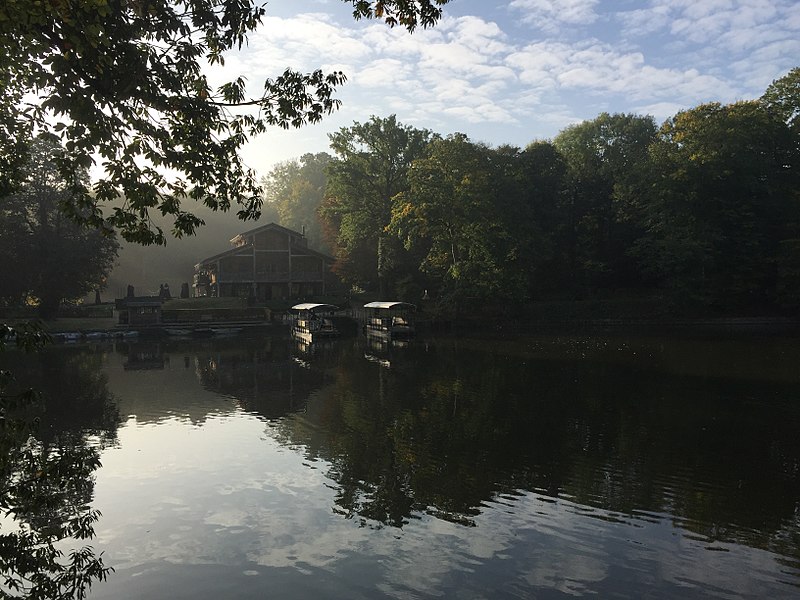
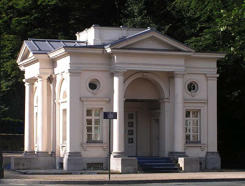
The Bois de la Cambre or Ter Kamerenbos is an urban public park in Brussels, Belgium. It lies in the south of the Brussels-Capital Region, in the municipality of the City of Brussels, and covers an area of 1.23 km2, forming a natural offshoot of the Sonian Forest, which penetrates deep into the city in the south-east of Brussels. It is linked to the rest of the municipality by the Avenue Louise/Louizalaan, which was built in 1861, at the same time the park was laid out. ()
Address
Bruxelles-Ville (Bois de la Cambre)Brussels
ContactAdd
Social media
Add
Day trips
Bois de la Cambre – popular in the area (distance from the attraction)
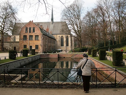
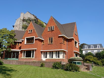
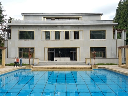
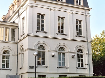
Nearby attractions include: Horta Museum, La Cambre Abbey, Museum David and Alice van Buuren, Villa Empain.
Frequently Asked Questions (FAQ)
Which popular attractions are close to Bois de la Cambre?
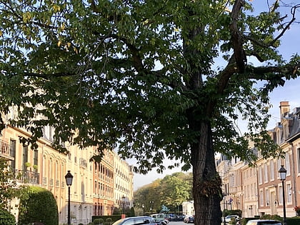
Nearby attractions include Villa Empain, Brussels (7 min walk), Avenue Franklin Roosevelt, Brussels (9 min walk), Solvay Brussels School of Economics and Management, Brussels (13 min walk), Salle Allende - Art contemporain, Brussels (13 min walk).
How to get to Bois de la Cambre by public transport?
The nearest stations to Bois de la Cambre:
Bus
Tram
Train
Metro
Bus
- Avenue Defré - Defrélaan • Lines: 123, 136, 365a, W (8 min walk)
- Avenue de l'Orée - Zoomlaan • Lines: 366 (8 min walk)
Tram
- Marie-José • Lines: 25, 8 (11 min walk)
- Solbosch - Solbos • Lines: 25, 8 (11 min walk)
Train
- Boondael - Boondaal (19 min walk)
- Vivier d'Oie - Diesdelle (21 min walk)
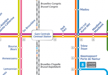
Metro
- Delta • Lines: 5 (36 min walk)
- Hankar • Lines: 5 (40 min walk)


 Metro / Rail
