Bowling 69, Waremme

Gallery (1)
Map
Map
Facts and practical information
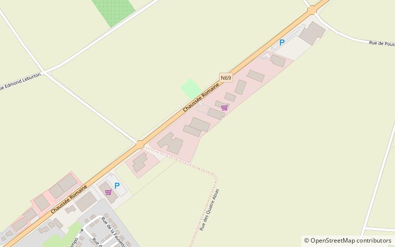
Bowling 69 (address: Chaussee Romaine 238) is a place located in Waremme (Wallonie region) and belongs to the category of bowling alley.
It is situated at an altitude of 374 feet, and its geographical coordinates are 50°41'57"N latitude and 5°17'2"E longitude.
Among other places and attractions worth visiting in the area are: Remicourt (locality, 56 min walk), Faimes (locality, 65 min walk), Limont Castle (forts and castles, 75 min walk).
Coordinates: 50°41'57"N, 5°17'2"E
Day trips


