Port of Liège, Liège
Map

Map

Facts and practical information
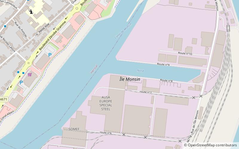
The Port of Liège is a Belgian inland port in Liège in the Province of Liège in Wallonia at the Meuse river and at the Albert Canal in the heart of Europe. Liège is the third largest inland port in Europe after Duisburg and Paris. It also has direct links to Antwerp and Rotterdam via its canals. Stretching over a distance of 26 kilometers and comprising 32 port areas, it covers 3.7 square kilometers. ()
Day trips
Port of Liège – popular in the area (distance from the attraction)
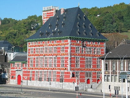
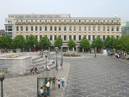
Nearby attractions include: Grand Curtius, Collegiate Church of St. Bartholomew, Fort de Barchon, La Zone.
Frequently Asked Questions (FAQ)
Which popular attractions are close to Port of Liège?
Nearby attractions include Pont-barrage de Monsin, Liège (16 min walk), Herstal, Liège (20 min walk).
How to get to Port of Liège by public transport?
The nearest stations to Port of Liège:
Bus
Train
Bus
- Herstal Rue des Mineurs • Lines: 66, 7 (8 min walk)
- Herstal Rue Nicolas Laloux • Lines: 5, 6, 7 (10 min walk)
Train
- Herstal (15 min walk)
- Bressoux (38 min walk)


