Fortifications of Brussels, Brussels
Map
Gallery
Facts and practical information
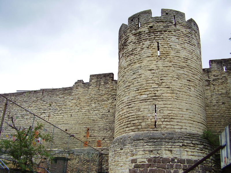
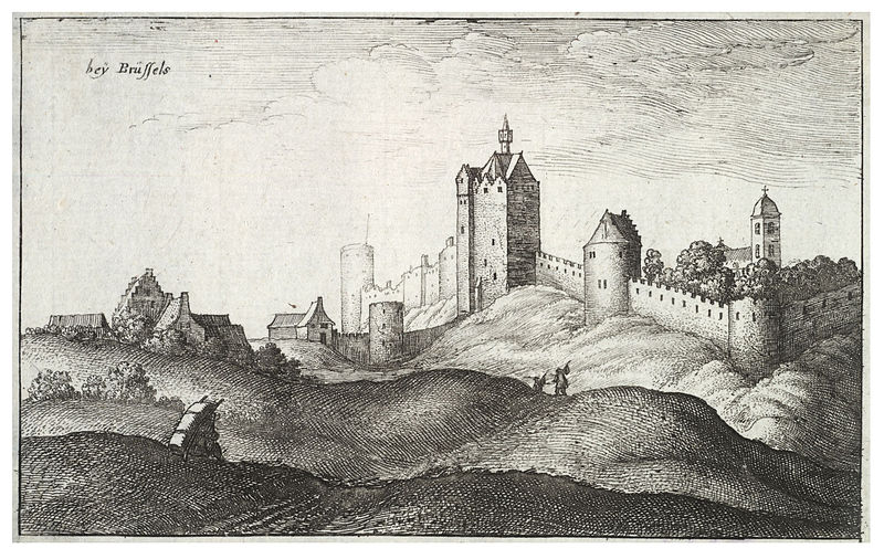
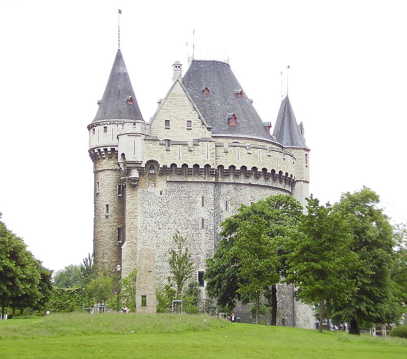
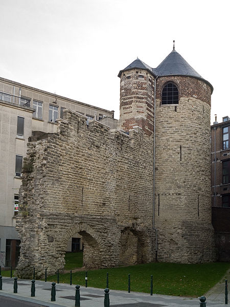
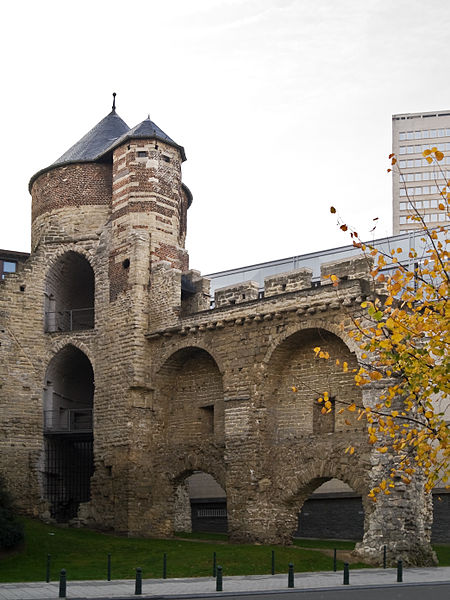
The Fortifications of Brussels refers to the medieval city walls that surrounded Brussels, Belgium, built primarily to defend the city but also for administrative reasons. There were two stages of fortifications of Brussels; the first walls, built in the early 13th century, and the second walls, built in the late 14th century and later upgraded. Today, only a few sections of either remain. ()
Address
Saint-Gilles (Porte de Hal)Brussels
ContactAdd
Social media
Add
Day trips
Fortifications of Brussels – popular in the area (distance from the attraction)
Nearby attractions include: Palais de Justice, Sablon, Horta Museum, Halle Gate.
Frequently Asked Questions (FAQ)
Which popular attractions are close to Fortifications of Brussels?
Nearby attractions include Halle Gate, Brussels (3 min walk), Place du Jeu de Balle, Brussels (8 min walk), Marollen, Brussels (8 min walk), Avenue Fonsny, Brussels (9 min walk).
How to get to Fortifications of Brussels by public transport?
The nearest stations to Fortifications of Brussels:
Bus
Train
Tram
Metro
Bus
- Porte de Hal - Hallepoort • Lines: 123, 136, 365a, 48, 52, N12, W (2 min walk)
- Hôpital Saint-Pierre - Sint-Pieters-ziekenhuis • Lines: 48, 52, N12 (4 min walk)
Train
- Porte de Hal - Hallepoort (3 min walk)
- Parvis de Saint-Gilles - Sint-Gillisvoorplein (6 min walk)
Tram
- Porte de Hal - Hallepoort • Lines: 3, 4, 51 (3 min walk)
- Parvis de Saint-Gilles - Sint-Gillisvoorplein • Lines: 3, 4, 51 (6 min walk)
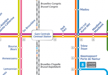
Metro
- Porte de Hal - Hallepoort • Lines: 2, 6 (3 min walk)
- Hôtel des Monnaies - Munthof • Lines: 2, 6 (5 min walk)



 Metro / Rail


