Poldermuseum

Gallery (1)
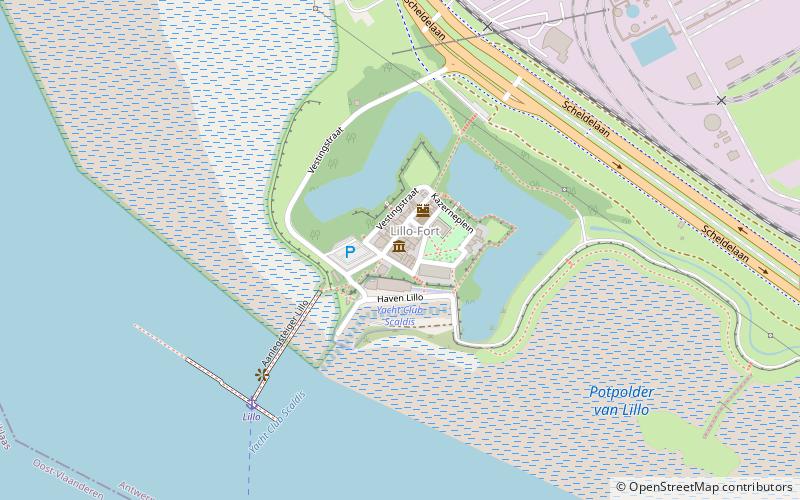
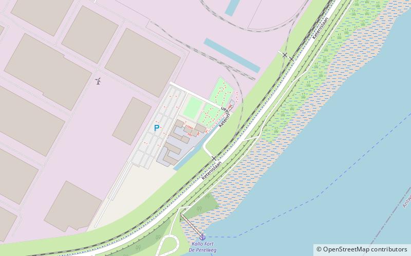
Map
Map
Facts and practical information
Poldermuseum (address: Tolhuisstraat 10-16) is a place located in Belgium and belongs to the category of museum, history museum.
It is situated at an altitude of 20 feet, and its geographical coordinates are 51°18'15"N latitude and 4°17'23"E longitude.
Among other places and attractions worth visiting in the area are: Fort LilloAntwerp (forts and castles, 1 min walk), LiefkenshoektunnelAntwerp (tunnel, 17 min walk), Fort LiefkenshoekBeveren (architecture, 19 min walk).
Coordinates: 51°18'15"N, 4°17'23"E
Day trips


Frequently Asked Questions (FAQ)
When is Poldermuseum open?
Poldermuseum is open:
- Monday closed
- Tuesday closed
- Wednesday closed
- Thursday closed
- Friday closed
- Saturday closed
- Sunday 1 pm - 6 pm