Liefkenshoektunnel, Antwerp
Map
Facts and practical information
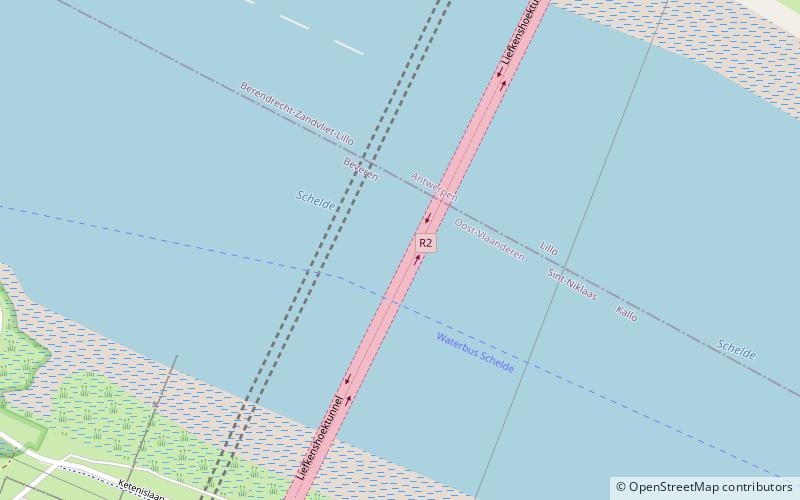
The Liefkenshoektunnel is a toll tunnel between Antwerp and Beveren under the River Schelde. The tunnel is a continuation of Highway R2, the ring motorway surrounding the city and harbour of Antwerp. In 2013 the tunnel was used by 6,373,894 vehicles. Positioned between the Beverentunnel and the Tijsmanstunnel, the Liefkenshoektunnel is the second of three sequential road tunnels running under the river and port installations. ()
Address
Antwerp
ContactAdd
Social media
Add
Getting there by public transportation
Public transportation stops near this location
- Bus
- Ferry
 Bus
Bus
- Calculate routeLiefkenshoek 12 min walk
- Calculate routeLillo 16 min walk
- Calculate routeFietsbushalte Scheldelaan 19 min walk
- Calculate routeI-Bus Hub 21 min walk
Day trips


Frequently Asked Questions (FAQ)
Which popular attractions are close to Liefkenshoektunnel?
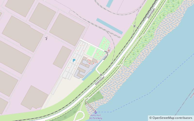
Nearby attractions include Fort Liefkenshoek, Beveren (13 min walk), Fort Lillo, Antwerp (18 min walk).
How to get to Liefkenshoektunnel by public transport?
The nearest stations to Liefkenshoektunnel:
Ferry
Bus
Ferry
- Liefkenshoek • Lines: Waterbus Schelde Hemiksem-Antwer, Waterbus Schelde Lillo-Antwerpen (12 min walk)
- Lillo • Lines: Waterbus Schelde Hemiksem-Antwer, Waterbus Schelde Lillo-Antwerpen (16 min walk)
Bus
- Fietsbushalte Scheldelaan • Lines: Fietsbus (19 min walk)
- I-Bus Hub (21 min walk)