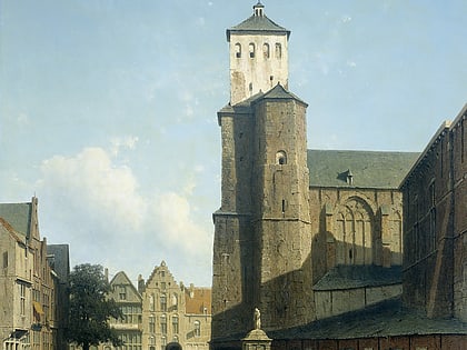
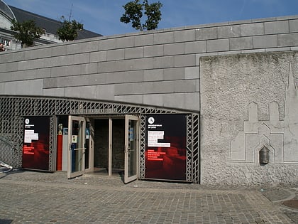
Place de l'Yser, Liège
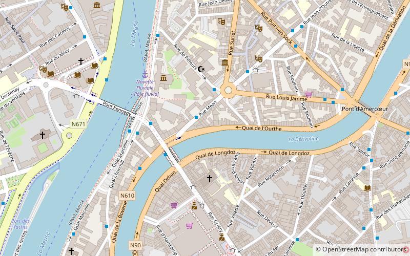
Map
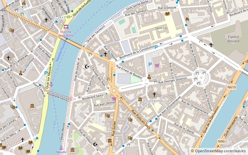
Map

Facts and practical information
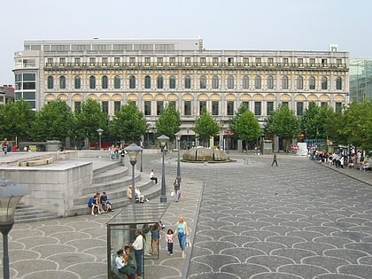
Place de l'Yser is a public square located in Liège in the Outremous district.
Coordinates: 50°38'31"N, 5°34'57"E
Day trips
Place de l'Yser – popular in the area (distance from the attraction)
Nearby attractions include: Liège Cathedral, Médiacité shopping centre, Grand Curtius, St Martin's Basilica.
Frequently Asked Questions (FAQ)
Which popular attractions are close to Place de l'Yser?
Nearby attractions include Rue Roture, Liège (5 min walk), Marché de la Batte, Liège (6 min walk), Université de Liège, Liège (8 min walk), La Zone, Liège (9 min walk).
How to get to Place de l'Yser by public transport?
The nearest stations to Place de l'Yser:
Bus
Train
Bus
- Liège Monument Tchantchès • Lines: 10, 13 (1 min walk)
- Liège Église Saint-Pholien • Lines: 10, 13, 18, 67, 69, 76 (3 min walk)
Train
- Liège-Saint-Lambert (16 min walk)
- Liège-Carré (24 min walk)


