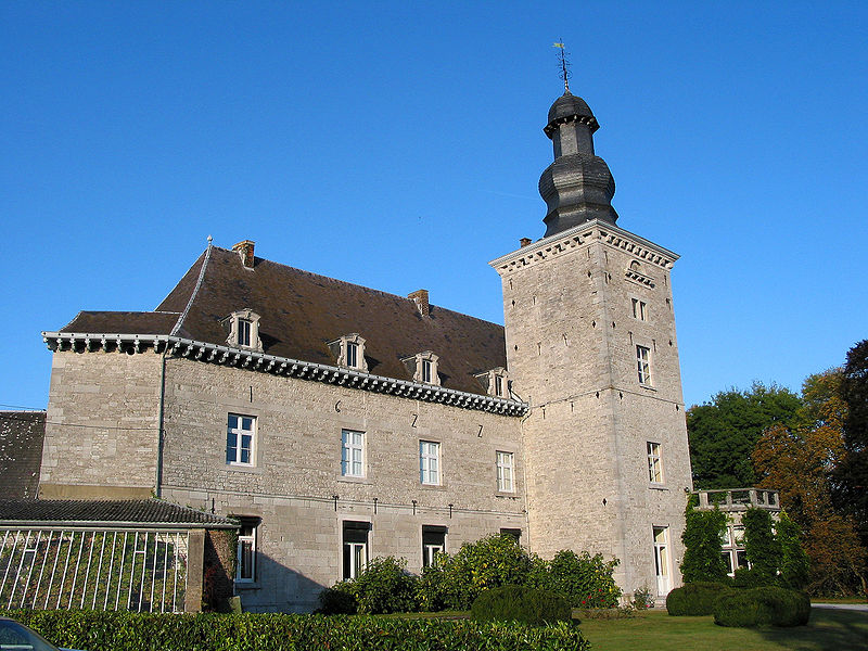
Château de Fumal
Map

Gallery

Facts and practical information
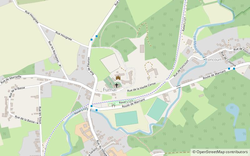
Fumal is a section of the Belgian municipality of Braives located in the Walloon Region in the province of Liege, along the Mehaigne river.
It was a full-fledged commune before the merger of the communes in 1977.
Postal Code: 4260
Coordinates: 50°35'14"N, 5°11'7"E
Location
Wallonie
ContactAdd
Social media
Add
Day trips
Château de Fumal – popular in the area (distance from the attraction)
Nearby attractions include: Citadel of Huy, Neumoustier Abbey, Mur de Huy, Yeunten Ling.


