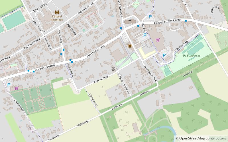
Den Steenen Molen, Boechout

Gallery (1)
Map
Map
Facts and practical information
Den Steenen Molen is a place located in Boechout (Vlaanderen region) and belongs to the category of windmill.
It is situated at an altitude of 62 feet, and its geographical coordinates are 51°9'25"N latitude and 4°29'27"E longitude.
Among other places and attractions worth visiting in the area are: Hove, Antwerp (area, 25 min walk), Volkssterrenwacht Urania, Antwerp (specialty museum, 36 min walk), Mortsel, Antwerp (area, 46 min walk).
Coordinates: 51°9'25"N, 4°29'27"E
Day trips