Sint-Sebastiaankerk, Gingelom

Gallery (1)
Map
Map
Facts and practical information
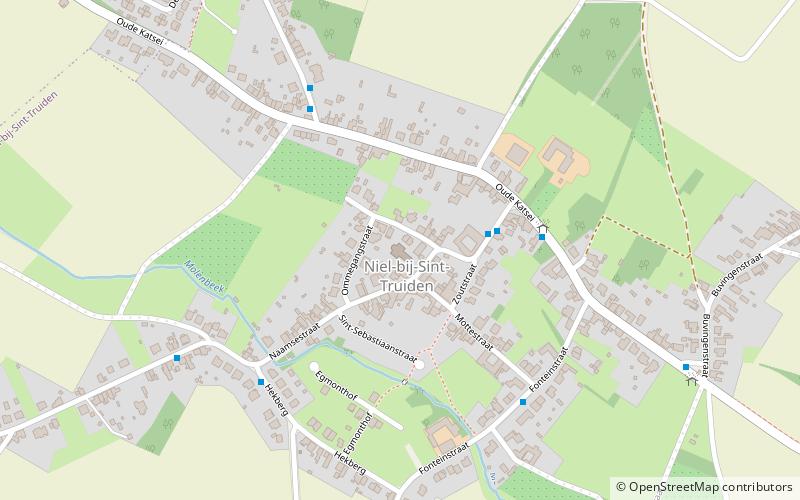
Sint-Sebastiaankerk (address: 33 Naamsestraat) is a place located in Gingelom (Vlaanderen region) and belongs to the category of church.
It is situated at an altitude of 282 feet, and its geographical coordinates are 50°44'29"N latitude and 5°8'22"E longitude.
Among other places and attractions worth visiting in the area are: Landen (locality, 68 min walk), Hasselbrouck Castle (forts and castles, 86 min walk), Sint-Lambertuskerk, Sint-Truiden (church, 108 min walk).
Coordinates: 50°44'29"N, 5°8'22"E
Address
33 NaamsestraatGingelom
ContactAdd
Social media
Add
Day trips


