Sint-Amanduskerk, Hooglede

Gallery (1)
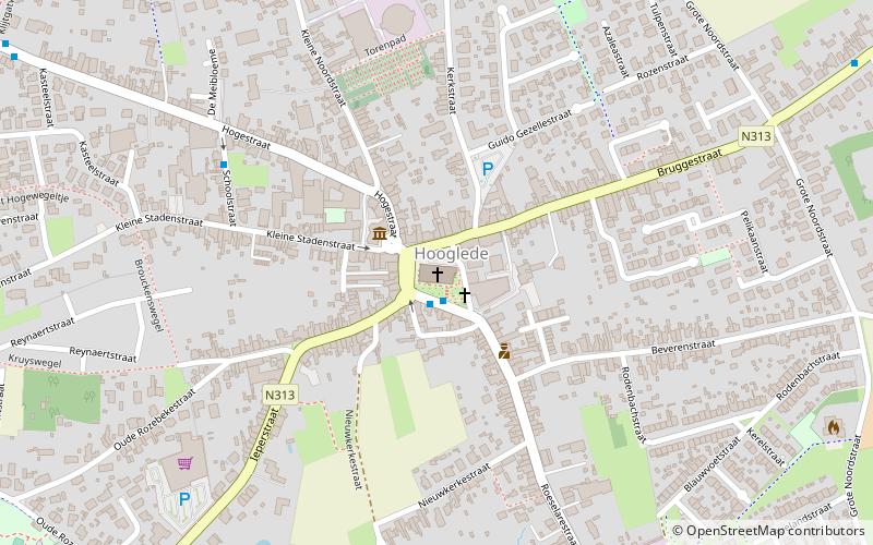
Map
Map
Facts and practical information
Sint-Amanduskerk is a place located in Hooglede (Vlaanderen region) and belongs to the category of church.
It is situated at an altitude of 157 feet, and its geographical coordinates are 50°58'42"N latitude and 3°4'55"E longitude.
Among other places and attractions worth visiting in the area are: Hooglede German war cemetery (cemetery, 13 min walk), Schiervelde Stadion, Roeselare (sport, 54 min walk), Sint-Amandskerk, Roeselare (church, 72 min walk).
Coordinates: 50°58'42"N, 3°4'55"E
Day trips


