Wullepitmolen, Werken

Gallery (1)
Map
Map
Facts and practical information
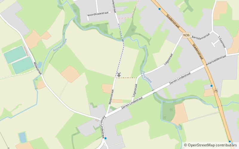
Wullepitmolen is a place located in Werken (Vlaanderen region) and belongs to the category of historical place, windmill.
It is situated at an altitude of 16 feet, and its geographical coordinates are 51°0'42"N latitude and 2°57'40"E longitude.
Among other places and attractions worth visiting in the area are: Couchezmolen (windmill, 15 min walk), Kruisstraatmolen (windmill, 36 min walk), Houthulst (locality, 63 min walk).
Coordinates: 51°0'42"N, 2°57'40"E
Address
Werken
ContactAdd
Social media
Add
Day trips


