Leopold Canal
Map

Map

Facts and practical information
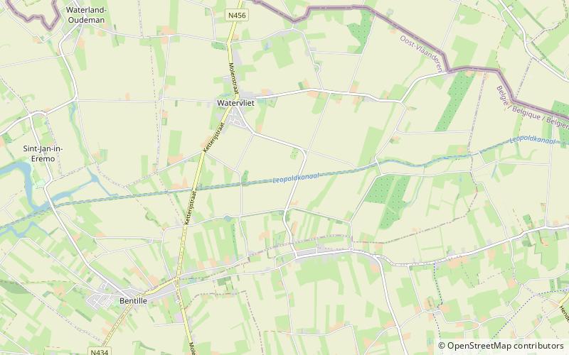
The Leopold Canal is a canal in northern Belgium. Construction occurred between 1847 and 1850 after the Belgian government granted permission in 1846. It runs about 40 km westward from Boekhoute to Heist-aan-Zee just south of the Dutch border. It is between 1.2 and 2.3 m deep. The canal was proposed by Canon Joseph Andries, local member of the Belgian National Congress, to prevent the Dutch from blocking the discharge of water and inundating the Meetjesland after Belgium's independence from the Netherlands. ()
Location
Vlaanderen
ContactAdd
Social media
Add
Day trips
Leopold Canal – popular in the area (distance from the attraction)
Nearby attractions include: The Holy Burial Chapel, Ter Leyen Castle, Sint-Laurentiuskerk, Oosteeklo.


