Kaprijke

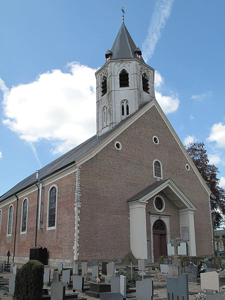
Gallery (3)
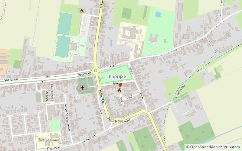
Map
Map
Gallery
Facts and practical information
Kaprijke is a municipality in the Belgian province of East Flanders. The municipality comprises the towns of Kaprijke proper and Lembeke. On January 1, 2006, Kaprijke had a total population of 6,128. The total area is 33.71 square kilometres which gives a population density of 182 inhabitants per square kilometre. ()
Location
Vlaanderen
ContactAdd
Social media
Add
Day trips


