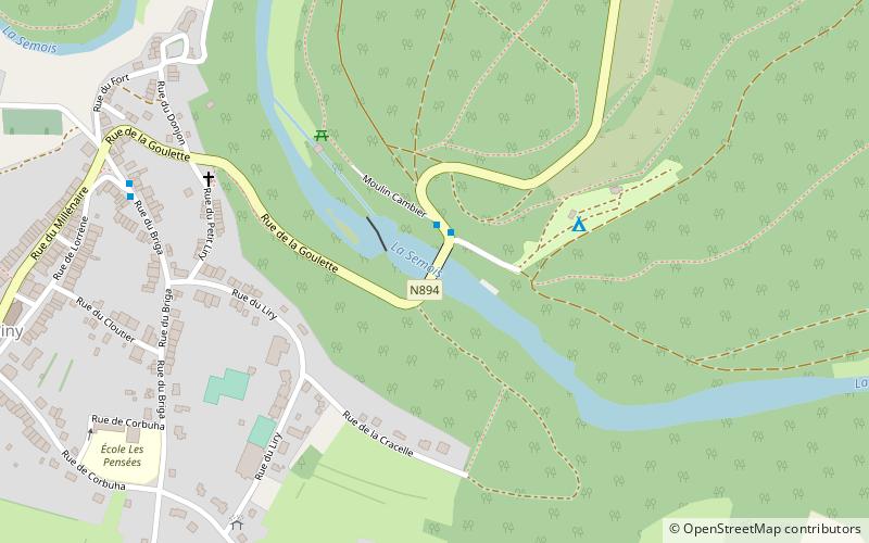
Ancienne tannerie, Chiny
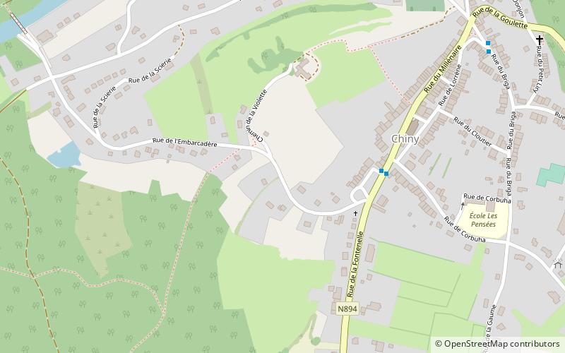
Map
Facts and practical information
Ancienne tannerie is a place located in Chiny (Wallonie region) and belongs to the category of ruins.
It is situated at an altitude of 1204 feet, and its geographical coordinates are 49°44'15"N latitude and 5°20'13"E longitude.
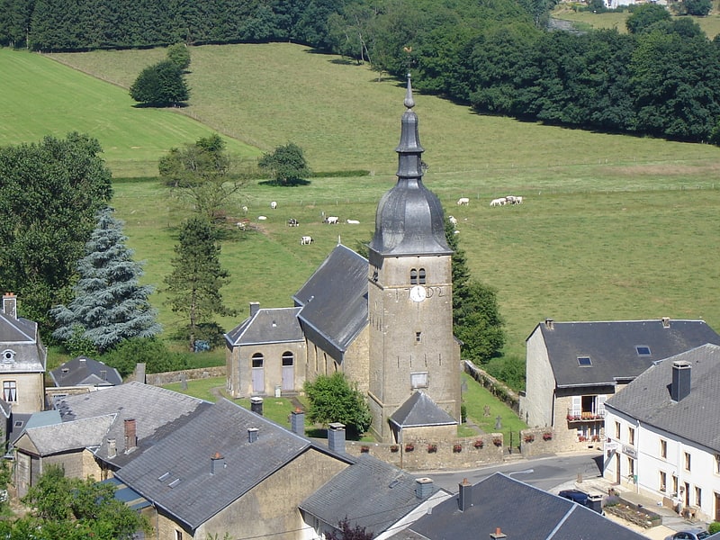
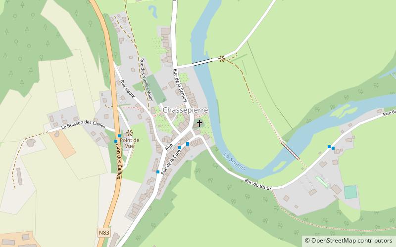
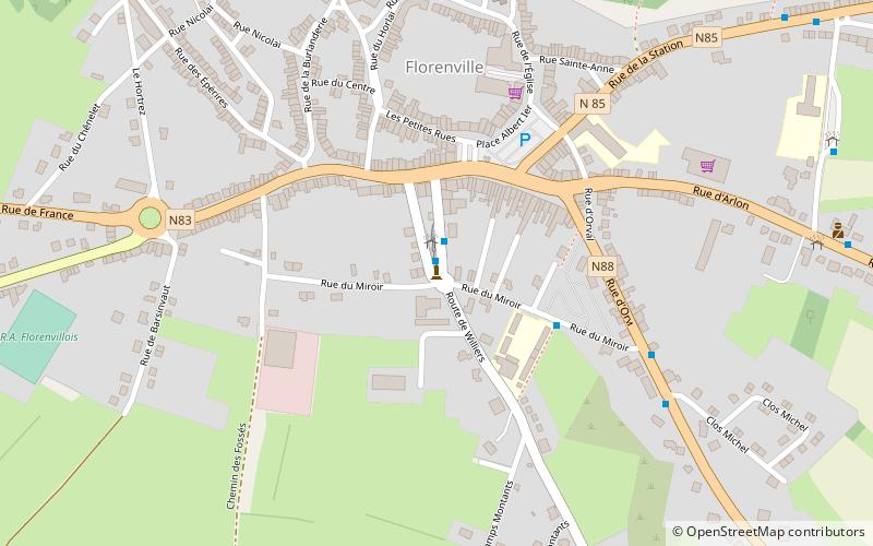
Among other places and attractions worth visiting in the area are: Pont Saint Nicolas (bridge, 15 min walk), Stèle offerte par la Royal Canadian Air Force, Florenville (memorial, 79 min walk), St. Martin's Church (church, 100 min walk).
Coordinates: 49°44'15"N, 5°20'13"E
Address
Chiny
ContactAdd
Social media
Add
Day trips