Gemeentehuis Hoegaarden, Hoegaarden

Gallery (1)
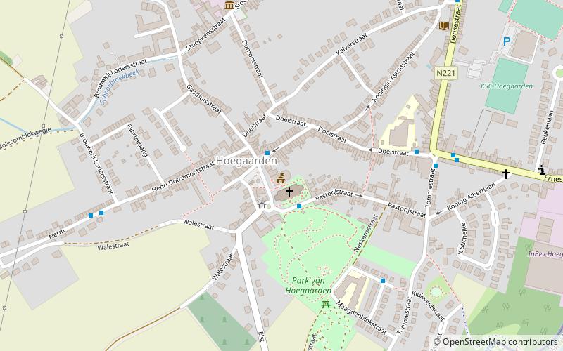
Map
Map
Facts and practical information
Gemeentehuis Hoegaarden (address: 1 Gemeenteplein) is a place located in Hoegaarden (Vlaanderen region) and belongs to the category of city hall.
It is situated at an altitude of 207 feet, and its geographical coordinates are 50°46'26"N latitude and 4°53'17"E longitude.
Among other places and attractions worth visiting in the area are: Sint-Gorgoniuskerk (church, 1 min walk), De Tuinen van Hoegaarden (garden, 3 min walk), Zétrud-Lumay Castle (forts and castles, 26 min walk).
Coordinates: 50°46'26"N, 4°53'17"E
Address
1 GemeentepleinHoegaarden
ContactAdd
Social media
Add
Day trips


Frequently Asked Questions (FAQ)
Which popular attractions are close to Gemeentehuis Hoegaarden?
Nearby attractions include Sint-Gorgoniuskerk, Hoegaarden (1 min walk), De Tuinen van Hoegaarden, Hoegaarden (3 min walk).