Dieweg Cemetery, Brussels
Map
Gallery
Facts and practical information
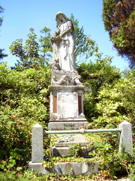
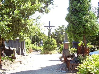
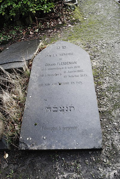
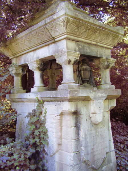
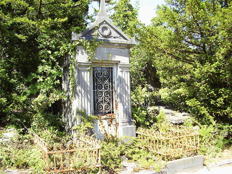
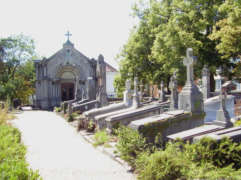
The Dieweg Cemetery is a former cemetery located on the territory of the Brussels municipality of Uccle, disused since 1958 and which has become one of the most unusual places to walk in the Belgian capital.
Coordinates: 50°47'41"N, 4°20'50"E
Address
95 Dieweg - DiewegUccle (Dieweg)Brussels
ContactAdd
Social media
Add
Day trips
Dieweg Cemetery – popular in the area (distance from the attraction)
Nearby attractions include: Forest National, Museum David and Alice van Buuren, Forest Town Hall, Royal Observatory of Belgium.
Frequently Asked Questions (FAQ)
Which popular attractions are close to Dieweg Cemetery?
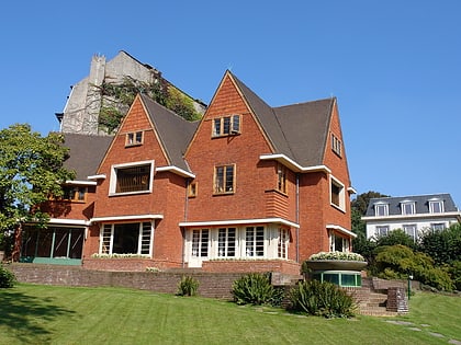
Nearby attractions include Bloemenwerf, Brussels (5 min walk), Royal Observatory of Belgium, Brussels (15 min walk), Uccle, Brussels (16 min walk), Cimetière d’Uccle - Begraafplaats van Ukkel, Brussels (16 min walk).
How to get to Dieweg Cemetery by public transport?
The nearest stations to Dieweg Cemetery:
Tram
Bus
Train
Tram
- Dieweg • Lines: 92, 97 (4 min walk)
- Thévenet • Lines: 92 (6 min walk)
Bus
- Chênaie - Eikenbos • Lines: 60 (4 min walk)
- Hellevelt • Lines: 60 (7 min walk)
Train
- Saint-Job - Sint-Job (17 min walk)
- Uccle-Calevoet - Ukkel-Kalevoet (18 min walk)


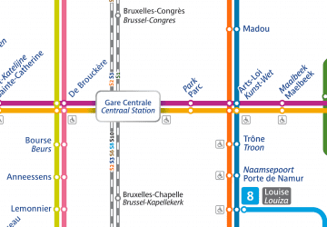 Metro / Rail
