Ringenhof, Lier

Gallery (1)
Map
Map
Facts and practical information
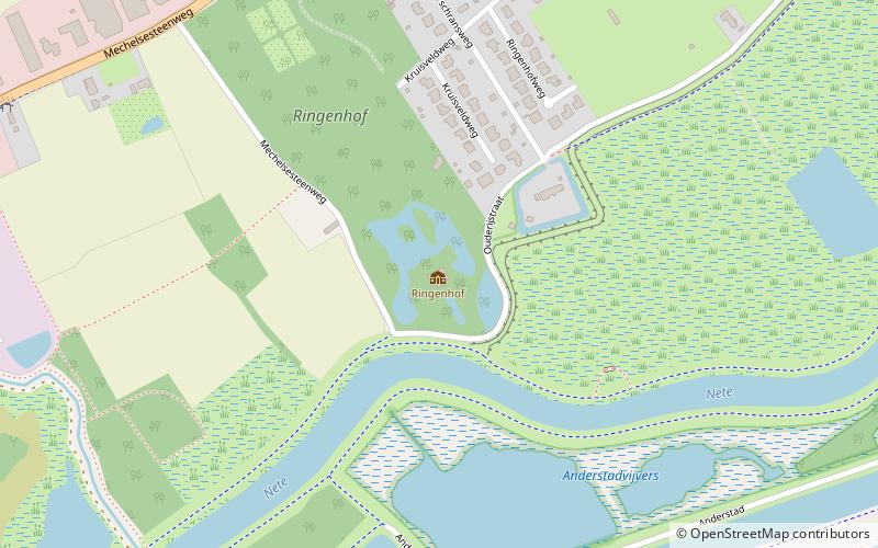
Ringenhof (address: 20 Kruisveldweg) is a place located in Lier (Vlaanderen region) and belongs to the category of forts and castles.
It is situated at an altitude of 13 feet, and its geographical coordinates are 51°7'6"N latitude and 4°32'57"E longitude.
Planning a visit to this place, one can easily and conveniently get there by public transportation. Ringenhof is a short distance from the following public transport stations: Lier Maaikeneveld (bus, 11 min walk).
Among other places and attractions worth visiting in the area are: Stadspark Lier (park, 29 min walk), Zimmer tower (specialty museum, 31 min walk), Walkiers (dance studio, 31 min walk).
Coordinates: 51°7'6"N, 4°32'57"E
Address
20 KruisveldwegLierLier
ContactAdd
Social media
Add
Getting there by public transportation
Public transportation stops near this location
- Bus
 Bus
Bus
- Calculate routeLier Maaikeneveld 11 min walk
- Calculate routeLier Lintsesteenweg 12 min walk
- Calculate routeLier Oudstrijderslaan 13 min walk
- Calculate routeLier Wolfsleikapel 15 min walk
Day trips


Frequently Asked Questions (FAQ)
How to get to Ringenhof by public transport?
The nearest stations to Ringenhof:
Bus
Bus
- Lier Maaikeneveld • Lines: 550, 555 (11 min walk)
- Lier Lintsesteenweg • Lines: 550, 555 (12 min walk)