Sint-Lambertuskerk

Gallery (1)
Map
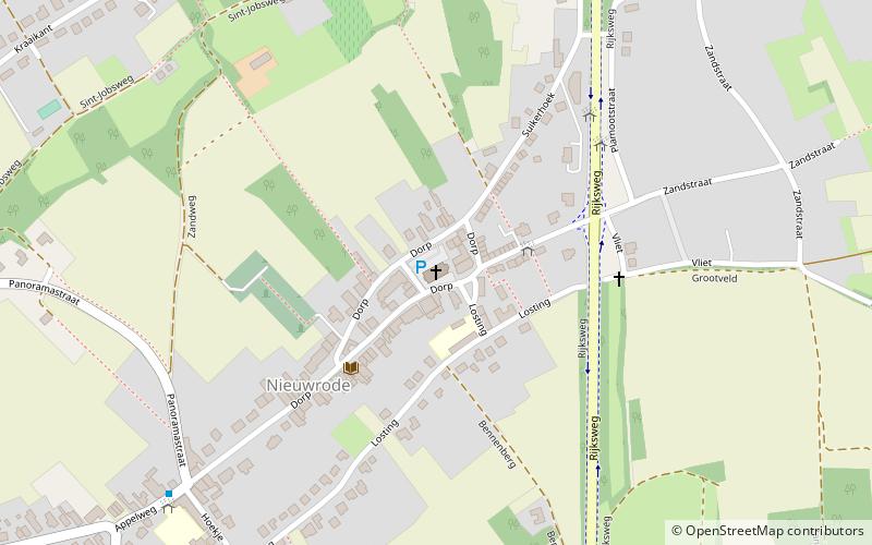
Map
Facts and practical information
Sint-Lambertuskerk (address: Dorp 7) is a place located in Belgium and belongs to the category of church.
It is situated at an altitude of 89 feet, and its geographical coordinates are 50°57'3"N latitude and 4°50'8"E longitude.
Among other places and attractions worth visiting in the area are: UnikampAarschot (shopping, 54 min walk), OrleanstorenAarschot (ruins, 54 min walk), Gemeentehuis HolsbeekHolsbeek (city hall, 55 min walk).
Coordinates: 50°57'3"N, 4°50'8"E
Day trips