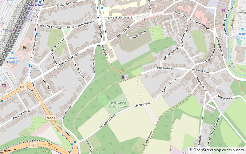
Orleanstoren, Aarschot

Gallery (1)
Map
Map
Facts and practical information
Orleanstoren is a place located in Aarschot (Vlaanderen region) and belongs to the category of ruins.
It is situated at an altitude of 154 feet, and its geographical coordinates are 50°58'52"N latitude and 4°49'49"E longitude.
Among other places and attractions worth visiting in the area are: Aarschotse Stadsbrouwerij (nightlife, 17 min walk), Unikamp (shopping, 25 min walk), Sint-Lambertuskerk (church, 54 min walk).
Coordinates: 50°58'52"N, 4°49'49"E
Address
Aarschot
ContactAdd
Social media
Add
Day trips