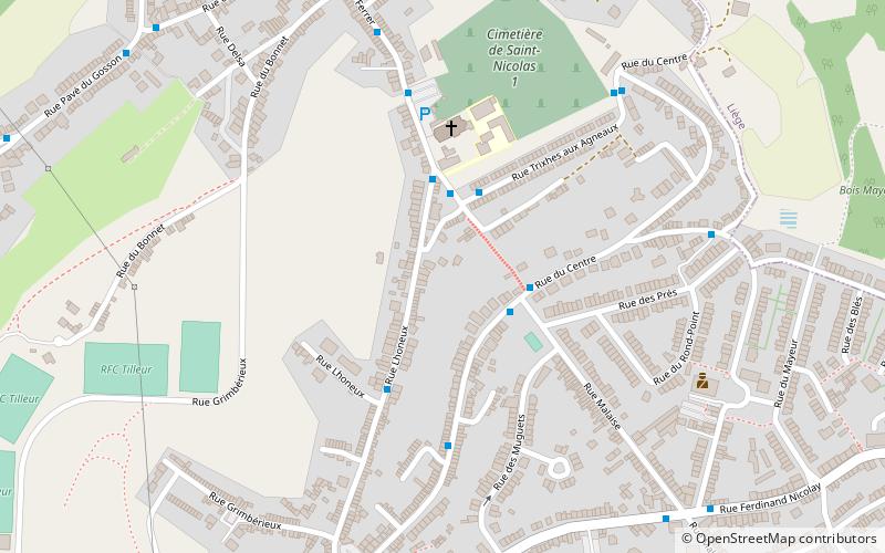
Côte de Saint-Nicolas, Liège
Map

Map

Facts and practical information
The Côte de Saint-Nicolas is a climb of Wallonia in the municipality of Saint-Nicolas in Belgium. It is often included in the Liège–Bastogne–Liège cycling classic, where it comes as one of the last difficulties, at approximately 6 km from the finish in the neighbouring municipality of Ans. With a length of 1.4 km at an average gradient of 7.6%, it is often a decisive site of the race. ()
Address
Liège
ContactAdd
Social media
Add
Day trips
Côte de Saint-Nicolas – popular in the area (distance from the attraction)
Nearby attractions include: Saint-Nicolas, Val-Saint-Lambert Abbey, Château Cockerill, Fontaine de la Samaritaine.
Frequently Asked Questions (FAQ)
How to get to Côte de Saint-Nicolas by public transport?
The nearest stations to Côte de Saint-Nicolas:
Bus
Train
Bus
- Saint-Nicolas Rue Malaise • Lines: 22 (2 min walk)
Train
- Pont-de-Seraing (36 min walk)


