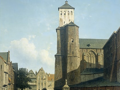
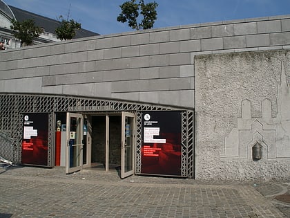
St. Andrew's Church, Liège
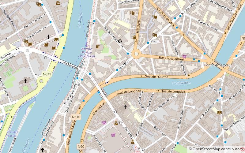
Map
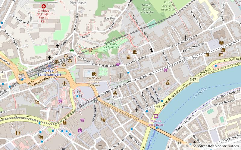
Map

Facts and practical information
The church of Saint-Andre is a church of Liege located on the Place du Marché. It is from the fourteenth century until the French Revolution, with St. Gangulphe, the church of the commandery of the Teutonic Order of St. Andrew, where resided the Grand Commander of the Grand Commandery of the Old Junks of Alden-Biezen.
Coordinates: 50°38'46"N, 5°34'33"E
Address
Place du Marché 27Liège (Centre)Liège 4000
ContactAdd
Social media
Add
Day trips
St. Andrew's Church – popular in the area (distance from the attraction)
Nearby attractions include: Liège Cathedral, Médiacité shopping centre, Grand Curtius, St Martin's Basilica.
Frequently Asked Questions (FAQ)
Which popular attractions are close to St. Andrew's Church?
Nearby attractions include Perron, Liège (1 min walk), Le Perron, Liège (1 min walk), Museum of Wallonian Life, Liège (2 min walk), Prince-Bishops' Palace, Liège (2 min walk).
How to get to St. Andrew's Church by public transport?
The nearest stations to St. Andrew's Church:
Bus
Train
Bus
- Liège Place du Marché • Lines: 1, 24, 4, 5, 6, 7 (2 min walk)
- Liège Place Saint-Lambert • Lines: 1, 12, 24, 39, 4, 53, 71, 72, 74, 75, 84, 88, 90, 94 (4 min walk)
Train
- Liège-Saint-Lambert (6 min walk)
- Liège-Carré (19 min walk)


