Edmond Machtens Stadium, Brussels
Map
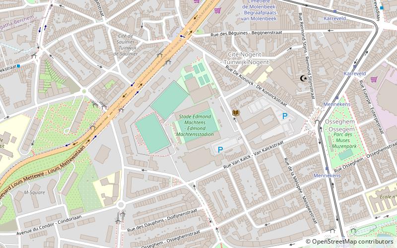
Map

Facts and practical information
The Edmond Machtens Stadium, officially Stade Edmond Machtens, is a football stadium located in the municipality of Molenbeek-Saint-Jean in Brussels, Belgium. The stadium has a capacity of 12,266. ()
Address
Rue Charles Malisstraat 61Molenbeek-Saint-Jean (Machtens)Brussels 1080
ContactAdd
Social media
Add
Day trips
Edmond Machtens Stadium – popular in the area (distance from the attraction)
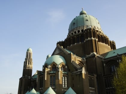
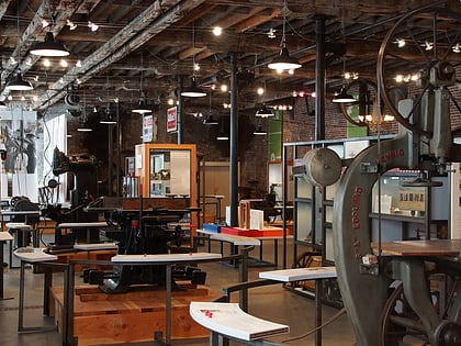
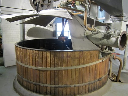
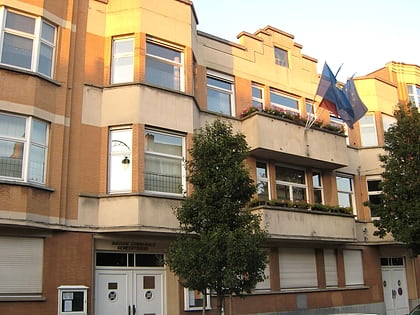
Nearby attractions include: Basilica of the Sacred Heart, La Fonderie, Cantillon, National Museum of the Resistance.
Frequently Asked Questions (FAQ)
Which popular attractions are close to Edmond Machtens Stadium?
Nearby attractions include Brasserie de la Senne, Brussels (11 min walk), Sint-Jans-Molenbeek, Brussels (22 min walk), Musée d'Art Religieux Moderne - Museum van Moderne Religieuze kunst, Brussels (23 min walk), Musée des Soeurs Noires, Brussels (23 min walk).
How to get to Edmond Machtens Stadium by public transport?
The nearest stations to Edmond Machtens Stadium:
Bus
Tram
Metro
Train
Bus
- Leroy • Lines: 49, 53 (4 min walk)
- Candries • Lines: 49, 53, 87 (5 min walk)
Tram
- Mennekens • Lines: 82 (7 min walk)
- Cimetière de Molenbeek - Begraafplaats van Molenbeek • Lines: 82 (8 min walk)
Metro
- Beekkant • Lines: 1, 2, 5, 6 (14 min walk)
- Gare de l'Ouest - Weststation • Lines: 1, 2, 5, 6 (17 min walk)
Train
- Bruxelles-Ouest - Brussel-West (16 min walk)
- Simonis (28 min walk)

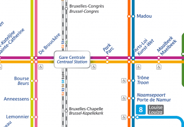 Metro / Rail